
1960 Map of Sumdum D-4
USGS Topo · Published 1966About this map
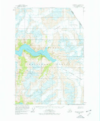
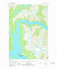
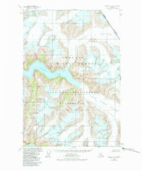
Tracy Arm cuts deeply through the mountainous terrain of the Tongass National Forest in this mid-century topographic record. The map documents a dramatic glacial landscape defined by the massive Sawyer Glacier and South Sawyer Glacier, which descend from high ice fields toward the tidewater. This survey reflects the complex maritime and international geography of the region, specifically marking the rugged boundary between Alaska and British Columbia along the high ridges. Compiled from aerial photographs taken in 1948 and 1961, with hydrographic data from a 1964 Coast and Geodetic Survey chart, the map shows a wilderness area devoid of roads or trails, where the deep fjords serve as the primary conduits for movement through the coastal mountains.
Find a feature on this map
6 named features on this map. Tap any name to fly to it.
Don’t see what you’re looking for? This feature index may not catch every label — zoom into the map to look around manually.
Map Details
Editions of this 1960 Sumdum D-4 Map
4 editions found
Other maps of this area

1948 · Sumdum C-5
USGS Topo · 1:63,360

1948 · Sumdum D-5
USGS Topo · 1:63,360

1951 · Taku River A-4
USGS Topo · 1:63,360

1951 · Taku River A-5
USGS Topo · 1:63,360

1951 · Sumdum C-5
USGS Topo · 1:63,360

1952 · Sumdum
USGS Topo · 1:250,000

1953 · Taku River
USGS Topo · 1:250,000

1955 · Sumdum D-5
USGS Topo · 1:63,360

1960 · Taku River
USGS Topo · 1:250,000

1961 · Sumdum D-3
USGS Topo · 1:63,360