
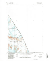
1961 Map of Sumdum D-3
USGS Topo · Published 1966About this map
South Sawyer Glacier dominates this high-altitude 1961 survey, documenting the frozen flow of ice through the coastal mountains of Southeast Alaska. The map captures the international boundary as it runs between the United States and Canada, specifically marking the divide between Alaska and British Columbia. This specific quadrangle serves as a detailed topographic record of the ice fields within the Tongass National Forest before significant late-century glacial retreat occurred.
Find a feature on this map
5 named features on this map. Tap any name to fly to it.
Don’t see what you’re looking for? This feature index may not catch every label — zoom into the map to look around manually.
Map Details
Editions of this 1961 Sumdum D-3 Map
2 editions found
Other maps of this area

1951 · Taku River A-4
USGS Topo · 1:63,360

1952 · Sumdum
USGS Topo · 1:250,000

1953 · Taku River
USGS Topo · 1:250,000

1960 · Taku River
USGS Topo · 1:250,000

1960 · Sumdum D-4
USGS Topo · 1:63,360

1961 · Sumdum C-3
USGS Topo · 1:63,360

1961 · Sumdum C-4
USGS Topo · 1:63,360
1961 · Sumdum C-2
USGS Topo · 1:63,360

1961 · Sumdum
USGS Topo · 1:250,000
1994 · Sumdum D-4
USGS Topo · 1:63,360