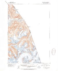
1951 Map of Taku River A-4
USGS Topo · Published 1954About this map
The Coast Mountains dominate this 1951 topographic study, defining the international boundary between British Columbia and Alaska. This high-altitude landscape, much of it preserved within the Tongass National Forest, is characterized by steep glacial terrain and ice-fed drainages like the Whiting River and Crescent Lake. For surveyors and cartographers, the map serves as a detailed record of geodetic control points along the frontier, marking elevations such as VABM Snowy 5960 and VABM Cook 5156. The placement of markers like Mon 82 and Mount Hill Boundary Peak 78 illustrates the precise effort required to delineate this remote mountain territory during the mid-twentieth century.
Find a feature on this map
14 named features on this map. Tap any name to fly to it.
Don’t see what you’re looking for? This feature index may not catch every label — zoom into the map to look around manually.
Map Details
Editions of this 1951 Taku River A-4 Map
3 editions found
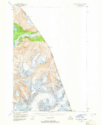
Other maps of this area

1948 · Sumdum D-5
USGS Topo · 1:63,360

1951 · Taku River A-4
USGS Topo · 1:63,360

1951 · Taku River A-5
USGS Topo · 1:63,360

1951 · Taku River B-5
USGS Topo · 1:63,360

1952 · Sumdum
USGS Topo · 1:250,000

1953 · Taku River
USGS Topo · 1:250,000

1955 · Sumdum D-5
USGS Topo · 1:63,360

1960 · Taku River
USGS Topo · 1:250,000

1960 · Sumdum D-4
USGS Topo · 1:63,360

1961 · Sumdum D-3
USGS Topo · 1:63,360