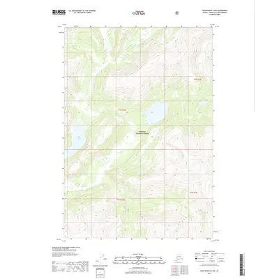
2017 Map of Taku River A-5 NW
USGS Topo · Published 2017About this map
Speel River winds through the heart of this coastal wilderness within the Tongass National Forest, illustrating the intricate glacial hydrology of Southeast Alaska. This 2017 survey documents the intersection of significant waterways where the Long River meets the larger Speel drainage system. The terrain is characterized by dramatic elevation changes, feeding into Indian Lake, which sits as a primary collection point in this roadless landscape. The map provides a precise record of the natural boundaries and watercourses before they reach the tidal waters of the nearby Taku Inlet. Researchers and hydrologists can trace the undisturbed flow of glacial meltwater and seasonal runoff across this protected forest land, highlighting the raw environmental character of the Juneau City and Borough region.
Find a feature on this map
8 named features on this map. Tap any name to fly to it.
Don’t see what you’re looking for? This feature index may not catch every label — zoom into the map to look around manually.
Map Details
Editions of this 2017 Taku River A-5 NW Map
This is the sole edition of this map. No revisions or reprints were ever made.
Other maps of this area

1951 · Taku River B-6
USGS Topo · 1:63,360

1951 · Taku River A-5
USGS Topo · 1:63,360

1951 · Taku River A-6
USGS Topo · 1:63,360

1951 · Taku River B-5
USGS Topo · 1:63,360

1953 · Taku River
USGS Topo · 1:250,000

1960 · Taku River
USGS Topo · 1:250,000

1994 · Taku River B-6
USGS Topo · 1:63,360
1996 · Taku River A-5
USGS Topo · 1:63,360
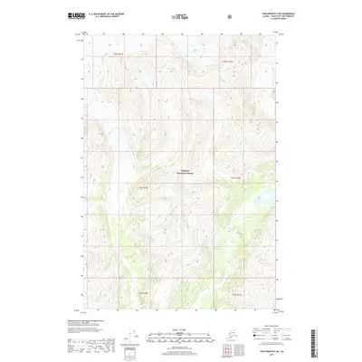
2017 · Taku River B-5 SW
USGS Topo · 1:25,000
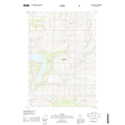
2017 · Taku River B-6 SE
USGS Topo · 1:25,000