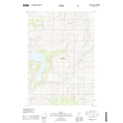
2017 Map of Taku River B-6 SE
USGS Topo · Published 2017About this map
Tongass National Forest dominates this Alaskan landscape near Juneau, showcasing a dramatic wilderness defined by high-altitude ice and glacial meltwater. The northern edge of the sheet is marked by the Bridge Glacier, which feeds the drainages of Davidson Cr as it winds through steep topographical relief. Further south, the elongated waters of Turner Lake stretch across the western portion of the quadrangle, receiving flow from Turner Cr. This 2017 survey provides a precise look at the glaciated terrain and interior waterways of the Alexander Archipelago’s mainland, where the absence of roads or settlements underscores the preserved state of this coastal rainforest environment.
Find a feature on this map
11 named features on this map. Tap any name to fly to it.
Don’t see what you’re looking for? This feature index may not catch every label — zoom into the map to look around manually.
Map Details
Editions of this 2017 Taku River B-6 SE Map
This is the sole edition of this map. No revisions or reprints were ever made.
Other maps of this area

1951 · Taku River B-6
USGS Topo · 1:63,360

1951 · Taku River A-5
USGS Topo · 1:63,360

1951 · Taku River A-6
USGS Topo · 1:63,360

1951 · Taku River B-5
USGS Topo · 1:63,360

1953 · Taku River
USGS Topo · 1:250,000

1960 · Taku River
USGS Topo · 1:250,000

1994 · Taku River B-6
USGS Topo · 1:63,360
1996 · Taku River A-5
USGS Topo · 1:63,360
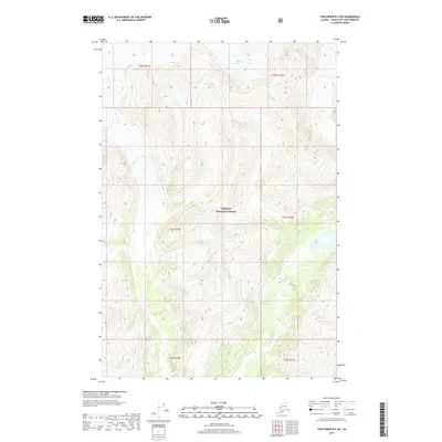
2017 · Taku River B-5 SW
USGS Topo · 1:25,000
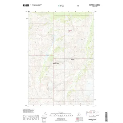
2017 · Taku River B-6 NE
USGS Topo · 1:25,000