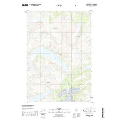
2017 Map of Taku River A-6 NE
USGS Topo · Published 2017About this map
Snettisham and its associated Snettisham Airport sit at the edge of a landscape dominated by steep glacial valleys and deep coastal waters within the Tongass National Forest. This 2017 survey details the complex hydrologic network of the region, where the Speel River meets the coast near Speel Point and Star Point. The terrain is characterized by high-elevation water bodies like Crater Lake, fed by Crater Cr, and the elongated reach of Long Lake. These features reflect a wilderness shaped by heavy precipitation and runoff, with Glacier Cr and the Long River carving through the mountain passes. The map provides a precise look at the remote geography of the Juneau City and Borough, illustrating the isolation of outposts in Southeast Alaska where air travel is a primary link to the outside world.
Find a feature on this map
16 named features on this map. Tap any name to fly to it.
Don’t see what you’re looking for? This feature index may not catch every label — zoom into the map to look around manually.
Map Details
Editions of this 2017 Taku River A-6 NE Map
This is the sole edition of this map. No revisions or reprints were ever made.
Other maps of this area

1951 · Taku River B-6
USGS Topo · 1:63,360

1951 · Taku River A-5
USGS Topo · 1:63,360

1951 · Taku River A-6
USGS Topo · 1:63,360

1951 · Taku River B-5
USGS Topo · 1:63,360

1953 · Taku River
USGS Topo · 1:250,000

1960 · Taku River
USGS Topo · 1:250,000

1994 · Taku River B-6
USGS Topo · 1:63,360
1996 · Taku River A-5
USGS Topo · 1:63,360
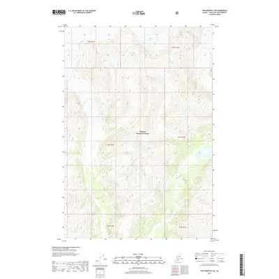
2017 · Taku River B-5 SW
USGS Topo · 1:25,000
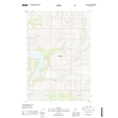
2017 · Taku River B-6 SE
USGS Topo · 1:25,000