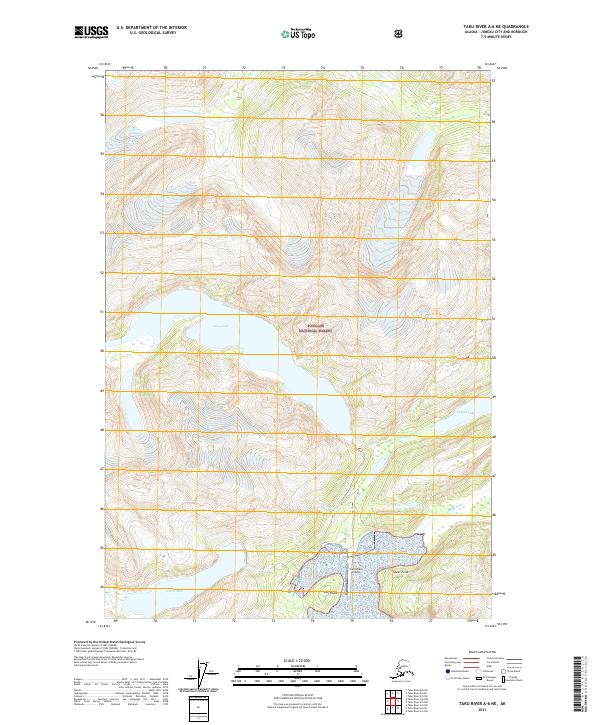
2021 Map of Taku River A-6 NE
USGS Topo · Published 2021About this map
Tongass National Forest dominates this landscape, where the dramatic interface of water and ice-carved terrain defines the coastal environment south of Juneau. The drainage systems are anchored by the Speel River and the Long River, which feed into the complex tidal flats and inlets of the region. A notable industrial and logistical hub is centered at Snettisham, which includes the Snettisham Airport and significant water management features.
Find a feature on this map
16 named features on this map. Tap any name to fly to it.
Don’t see what you’re looking for? This feature index may not catch every label — zoom into the map to look around manually.
Map Details
Editions of this 2021 Taku River A-6 NE Map
This is the sole edition of this map. No revisions or reprints were ever made.
Other maps of this area

1951 · Taku River B-6
USGS Topo · 1:63,360

1951 · Taku River A-5
USGS Topo · 1:63,360

1951 · Taku River A-6
USGS Topo · 1:63,360

1951 · Taku River B-5
USGS Topo · 1:63,360

1953 · Taku River
USGS Topo · 1:250,000

1960 · Taku River
USGS Topo · 1:250,000

1994 · Taku River B-6
USGS Topo · 1:63,360
1996 · Taku River A-5
USGS Topo · 1:63,360
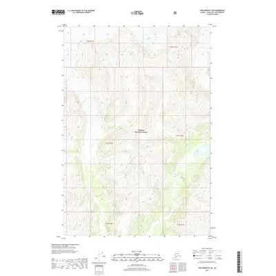
2017 · Taku River B-5 SW
USGS Topo · 1:25,000
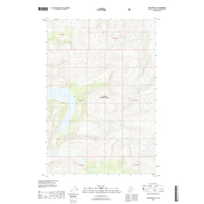
2017 · Taku River B-6 SE
USGS Topo · 1:25,000