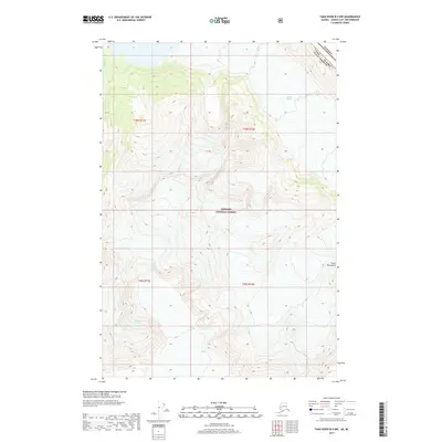
2017 Map of Taku River B-5 NW
USGS Topo · Published 2017About this map
Tongass National Forest dominates this 2017 survey of the high alpine terrain along the international boundary between Alaska and British Columbia. The landscape is defined by the massive glacial systems of the Coast Mountains, where ice and meltwater carve deep into the wilderness. High-altitude ice fields feed into Wright Glacier in the northeast and Bridge Glacier in the southwest, illustrating the ongoing glacial dynamics of the Stikine Region. This map captures the precise surveying of the Canada Usa border, winding through peaks and ice fields near the Alaska Juneau Borough line. The sparse labeling, including the drainage of Hidden Cr, reflects a region shaped more by geomorphology and protected forest lands than by human settlement or industry.
Find a feature on this map
11 named features on this map. Tap any name to fly to it.
Don’t see what you’re looking for? This feature index may not catch every label — zoom into the map to look around manually.
Map Details
Editions of this 2017 Taku River B-5 NW Map
This is the sole edition of this map. No revisions or reprints were ever made.
Other maps of this area

1951 · Taku River B-6
USGS Topo · 1:63,360

1951 · Taku River B-5
USGS Topo · 1:63,360

1953 · Taku River
USGS Topo · 1:250,000
1960 · Taku River C-5
USGS Topo · 1:63,360

1960 · Taku River C-6
USGS Topo · 1:63,360

1960 · Taku River
USGS Topo · 1:250,000

1994 · Taku River B-6
USGS Topo · 1:63,360

1995 · Taku River C-6
USGS Topo · 1:63,360
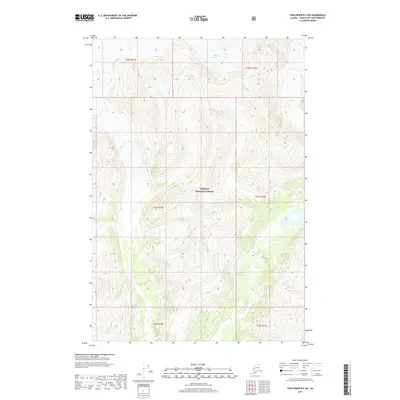
2017 · Taku River B-5 SW
USGS Topo · 1:25,000
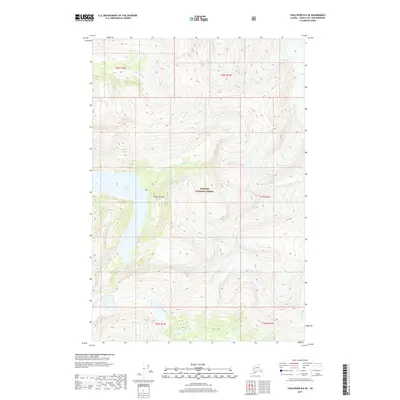
2017 · Taku River B-6 SE
USGS Topo · 1:25,000