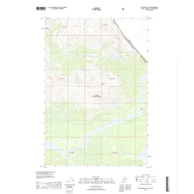
2017 Map of Taku River C-6 SE
USGS Topo · Published 2017About this map
Tongass National Forest dominates this international border region, where the rugged topography of the Coast Mountains meets the wide glacial valleys of the North. The Taku River serves as the primary hydrological artery, winding past Canyon Island and receiving numerous tributaries such as Fish Creek and Moose Cr. This 2017 survey illustrates the complex drainage patterns near the border between Alaska and British Columbia, including high-altitude features like Boundary Lake and the peak of Kluchman Mtn. The map's detailed contouring reveals the steep glacial-carved terrain surrounding the Wright River and Yehring Cr, providing a clear picture of this transboundary wilderness. For those studying the landscape of the Juneau Borough, this document clarifies the intersection of national forest lands and the international boundary line defined along the mountain crests.
Find a feature on this map
13 named features on this map. Tap any name to fly to it.
Don’t see what you’re looking for? This feature index may not catch every label — zoom into the map to look around manually.
Map Details
Editions of this 2017 Taku River C-6 SE Map
This is the sole edition of this map. No revisions or reprints were ever made.
Other maps of this area

1951 · Taku River B-6
USGS Topo · 1:63,360

1951 · Taku River B-5
USGS Topo · 1:63,360

1953 · Taku River
USGS Topo · 1:250,000
1960 · Taku River C-5
USGS Topo · 1:63,360

1960 · Taku River C-6
USGS Topo · 1:63,360

1960 · Taku River
USGS Topo · 1:250,000

1994 · Taku River B-6
USGS Topo · 1:63,360

1995 · Taku River C-6
USGS Topo · 1:63,360
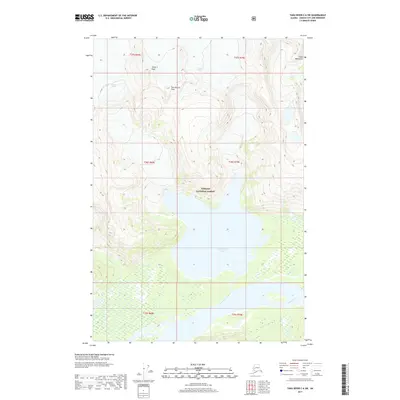
2017 · Taku River C-6 SW
USGS Topo · 1:25,000
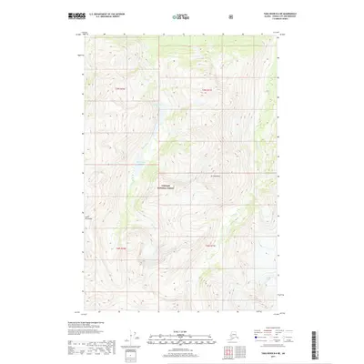
2017 · Taku River B-6 NE
USGS Topo · 1:25,000