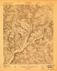
1920 Map of Talatha
USGS Topo · Published 1920About this map
The agrarian landscape of Aiken and Barnwell Counties is meticulously detailed in this survey from the years just following the First World War. Centered around the settlement of Talatha, the map reveals a high density of rural social infrastructure, with numerous churches and schools serving the local population. Communities like Windsor and Greenland are connected by a web of local roads, including the primary Augusta and Charleston routes.
Find a feature on this map
42 named features on this map. Tap any name to fly to it.
Don’t see what you’re looking for? This feature index may not catch every label — zoom into the map to look around manually.
Map Details
Editions of this 1920 Talatha Map
This is the sole edition of this map. No revisions or reprints were ever made.
Other maps of this area
1919 · Allendale
USGS Topo · 1:62,500
1920 · Ellenton
USGS Topo · 1:48,000
1920 · Greens Cut
USGS Topo · 1:62,500
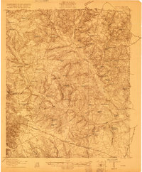
1920 · Aiken
USGS Topo · 1:48,000

1921 · Augusta
USGS Topo · 1:62,500
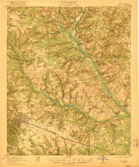
1921 · Aiken
USGS Topo · 1:62,500
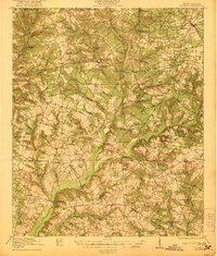
1921 · Talatha
USGS Topo · 1:62,500
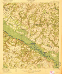
1921 · Ellenton
USGS Topo · 1:62,500
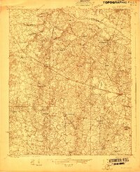
1923 · Williston
USGS Topo · 1:48,000
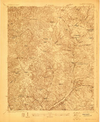
1923 · Warrenville
USGS Topo · 1:48,000