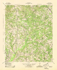
1943 Map of Talatha
USGS Topo · Published 1943About this map
Talatha and the surrounding rural landscapes of Aiken and Barnwell counties are defined by a dense network of country schools and churches that anchored these farming communities during the early 1940s. The terrain is bisected by numerous waterways, including Upper Three Runs, Tinker Creek, and Cedar Creek, which provided the necessary drainage and power for early industry like Thalmans Mill. The Southern railroad line runs through the northeastern corner near Windsor, while the Augusta Road serves as a primary artery across the southern half of the quadrangle.
Find a feature on this map
51 named features on this map. Tap any name to fly to it.
Don’t see what you’re looking for? This feature index may not catch every label — zoom into the map to look around manually.
Map Details
Editions of this 1943 Talatha Map
This is the sole edition of this map. No revisions or reprints were ever made.
Other maps of this area
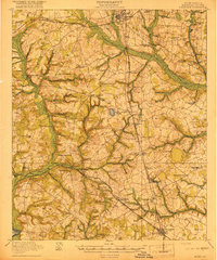
1919 · Allendale
USGS Topo · 1:62,500
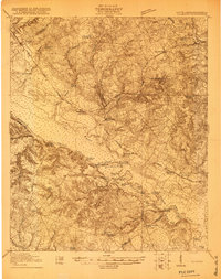
1920 · Ellenton
USGS Topo · 1:48,000
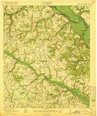
1920 · Greens Cut
USGS Topo · 1:62,500
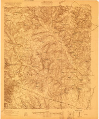
1920 · Aiken
USGS Topo · 1:48,000
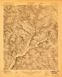
1920 · Talatha
USGS Topo · 1:48,000

1921 · Augusta
USGS Topo · 1:62,500
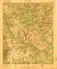
1921 · Aiken
USGS Topo · 1:62,500
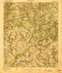
1921 · Talatha
USGS Topo · 1:62,500
1921 · Ellenton
USGS Topo · 1:62,500
1923 · Williston
USGS Topo · 1:48,000