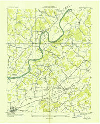
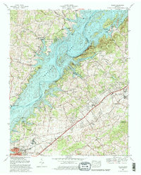
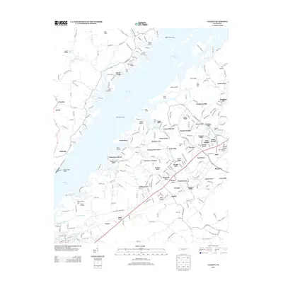
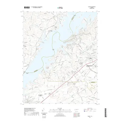
1935 Map of Talbott
USGS Topo · Published 1935About this map
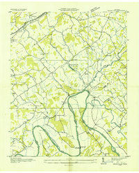
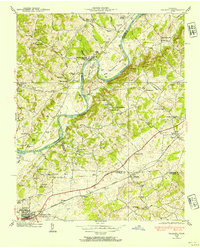
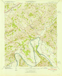
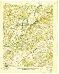
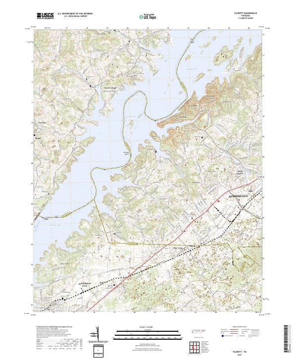
The Holston River winds through a landscape defined by the convergence of Hamblen, Grainger, and Jefferson counties in the mid-1930s. This Tennessee Valley Authority survey captures a rural network of riverfront landmarks and upland farming communities before modern development altered the valley floor. Settlement is clustered around the Southern Railway corridor to the south, where Talbott and the eastern edge of Jefferson City are established. Local life is centered on numerous country institutions like Lebanon Ch, Morgans Sch, and the Martha Sunderland Cem.
Find a feature on this map
76 named features on this map. Tap any name to fly to it.
Don’t see what you’re looking for? This feature index may not catch every label — zoom into the map to look around manually.
Map Details
Editions of this 1935 Talbott Map
This is the sole edition of this map. No revisions or reprints were ever made.
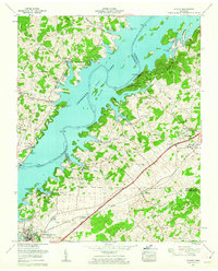
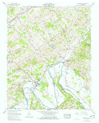
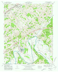
Historical Maps of Morristown Through Time
19 maps found
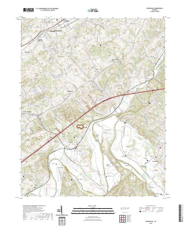
1935 Springvale
Hamblen County, TN
1935 Talbott
Hamblen County, TN
1938 Talbott
Hamblen County, TN
1939 Springvale
Hamblen County, TN
1940 Talbott
Hamblen County, TN
1960 Talbott
Hamblen County, TN
1961 Springvale
Hamblen County, TN
1980 Springvale
Hamblen County, TN
1980 Talbott
Hamblen County, TN
2010 Talbott
Hamblen County, TN
2011 Springvale
Hamblen County, TN
2013 Springvale
Hamblen County, TN
2013 Talbott
Hamblen County, TN
2016 Springvale
Hamblen County, TN
2016 Talbott
Hamblen County, TN
2019 Springvale
Hamblen County, TN
2019 Talbott
Hamblen County, TN
2022 Springvale
Hamblen County, TN
2022 Talbott
Hamblen County, TN