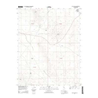
2015 Map of Talc City Hills
USGS Topo · Published 2015About this map
The high desert terrain of Inyo County, California, is represented in this modern topographic study, showing the arid landscape that defines the eastern edge of the state. The primary drainage through this desolate corridor is Lucky Jim Wash, which cuts across the northeastern portion of the sheet. This map documents a region characterized by sparse water resources and dramatic elevation changes, serving as a critical reference for understanding the hydrological patterns of the Mojave Desert environment. The absence of major settlements reflects the isolated nature of the basin-and-range topography, where natural features like dry washes and seasonal watercourses are the most significant landmarks for navigation and land management.
Find a feature on this map
1 named feature on this map. Tap any name to fly to it.
Don’t see what you’re looking for? This feature index may not catch every label — zoom into the map to look around manually.
Map Details
Editions of this 2015 Talc City Hills Map
This is the sole edition of this map. No revisions or reprints were ever made.
Other maps of this area

1908 · Ballarat
USGS Topo · 1:250,000

1913 · Ballarat
USGS Topo · 1:250,000

1948 · Death Valley
USGS Topo · 1:250,000

1950 · Darwin
USGS Topo · 1:62,500

1951 · Darwin
USGS Topo · 1:62,500

1951 · Keeler
USGS Topo · 1:62,500

1951 · Haiwee Reservoir
USGS Topo · 1:62,500

1951 · Coso Peak
USGS Topo · 1:62,500

1954 · Death Valley
USGS Topo · 1:250,000

1956 · Death Valley
USGS Topo · 1:250,000