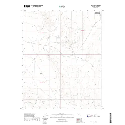
2018 Map of Talc City Hills
USGS Topo · Published 2018About this map
The Talc City Hills and the northwestern edge of the Mojave Desert define this desert landscape in Inyo County. This 2018 survey illustrates a complex network of arid-land transport routes, including Saline Valley Rd and Olancha Darwin Rd, which provide access through the varying elevations of the Coso Range and Black Rock Canyon. The northeastern corner of the map reaches into Death Valley National Park, where the Saline Valley Alt Rte skirts the high ground.
Find a feature on this map
18 named features on this map. Tap any name to fly to it.
Don’t see what you’re looking for? This feature index may not catch every label — zoom into the map to look around manually.
Map Details
Editions of this 2018 Talc City Hills Map
This is the sole edition of this map. No revisions or reprints were ever made.
Other maps of this area

1908 · Ballarat
USGS Topo · 1:250,000

1913 · Ballarat
USGS Topo · 1:250,000

1948 · Death Valley
USGS Topo · 1:250,000

1950 · Darwin
USGS Topo · 1:62,500

1951 · Darwin
USGS Topo · 1:62,500

1951 · Keeler
USGS Topo · 1:62,500

1951 · Haiwee Reservoir
USGS Topo · 1:62,500

1951 · Coso Peak
USGS Topo · 1:62,500

1954 · Death Valley
USGS Topo · 1:250,000

1956 · Death Valley
USGS Topo · 1:250,000