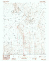
1987 Map of Talc City Hills
USGS Topo · Published 1987About this map
Industrial extraction dominates the arid landscape of the Talc City Hills during the 1980s. This survey records a concentrated network of mining operations, including the Talc City Mine, Alliance Talc Mine, and Silver Dollar Mine. The terrain is marked by numerous Open Pit Mines and Clay pits, while isolated prospects are scattered across the high ground between Eagle Point and the Coso Range.
Find a feature on this map
19 named features on this map. Tap any name to fly to it.
Don’t see what you’re looking for? This feature index may not catch every label — zoom into the map to look around manually.
Map Details
Editions of this 1987 Talc City Hills Map
This is the sole edition of this map. No revisions or reprints were ever made.
Other maps of this area

1908 · Ballarat
USGS Topo · 1:250,000

1913 · Ballarat
USGS Topo · 1:250,000

1948 · Death Valley
USGS Topo · 1:250,000

1950 · Darwin
USGS Topo · 1:62,500

1951 · Darwin
USGS Topo · 1:62,500

1951 · Keeler
USGS Topo · 1:62,500

1951 · Haiwee Reservoir
USGS Topo · 1:62,500

1951 · Coso Peak
USGS Topo · 1:62,500

1954 · Death Valley
USGS Topo · 1:250,000

1956 · Death Valley
USGS Topo · 1:250,000