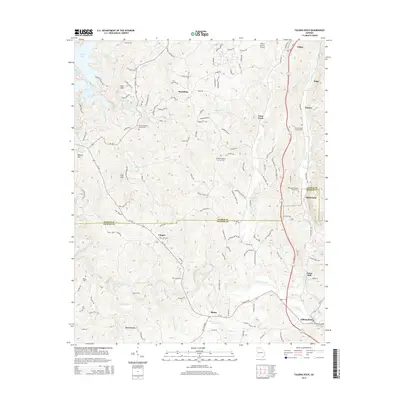
2014 Map of Talking Rock
USGS Topo · Published 2014About this map
Talking Rock Creek flows through the southern half of this landscape, anchoring a region defined by the border between Gilmer and Pickens counties. In the early 21st century, the area shows a mix of established crossroad settlements and modern infrastructure. The community of Talking Rock and the nearby Carns Mill reflect the historical importance of the creek, while the presence of Gilmer County Airport near Town Creek indicates the region's contemporary connections.
Find a feature on this map
134 named features on this map. Tap any name to fly to it.
Don’t see what you’re looking for? This feature index may not catch every label — zoom into the map to look around manually.
Map Details
Editions of this 2014 Talking Rock Map
This is the sole edition of this map. No revisions or reprints were ever made.
Other maps of this area

1886 · Dalton
USGS Topo · 1:125,000

1888 · Ellijay
USGS Topo · 1:125,000

1890 · Suwanee
USGS Topo · 1:125,000

1890 · Cartersville
USGS Topo · 1:125,000

1891 · Cartersville
USGS Topo · 1:125,000

1892 · Ellijay
USGS Topo · 1:125,000

1892 · Dalton
USGS Topo · 1:125,000

1894 · Suwanee
USGS Topo · 1:125,000

1896 · Cartersville
USGS Topo · 1:125,000

1897 · Dalton
USGS Topo · 1:125,000