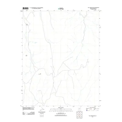
2011 Map of Tall Mountain
USGS Topo · Published 2011About this map
Tall Mountain and the expansive Zilnez Mesa dominate this high-desert landscape in northern Arizona, as documented by the U.S. Geological Survey in 2011. The terrain is characterized by a network of drainage systems and isolated water sources that have historically dictated movement and land use in this arid region. The course of Nokai Creek winds through the eastern portion of the map, while numerous vital watering points like Hawks Nest Spring, Oat Spring, and Aspen Spring are scattered across the topography. Remote transit routes, including Indian Rte 6310 and the road labeled Nelson, provide the primary access through Sage Valley. This survey captures the relationship between geological formations and the scarce water resources essential for life in the Navajo Nation interior, offering a precise view of the physical environment before more recent developmental changes.
Find a feature on this map
10 named features on this map. Tap any name to fly to it.
Don’t see what you’re looking for? This feature index may not catch every label — zoom into the map to look around manually.
Map Details
Editions of this 2011 Tall Mountain Map
This is the sole edition of this map. No revisions or reprints were ever made.
Other maps of this area

1883 · Marsh Pass
USGS Topo · 1:250,000

1892 · Marsh Pass
USGS Topo · 1:250,000
1952 · Shato Spring 1 NE
USGS Topo · 1:24,000
1952 · Agathla Peak 2 SW
USGS Topo · 1:24,000
1952 · Agathla Peak 2 NW
USGS Topo · 1:24,000
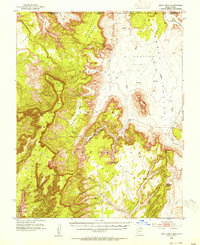
1952 · Boot Mesa
USGS Topo · 1:62,500

1956 · Marble Canyon
USGS Topo · 1:250,000

1959 · Marble Canyon
USGS Topo · 1:250,000

1961 · Marble Canyon
USGS Topo · 1:250,000
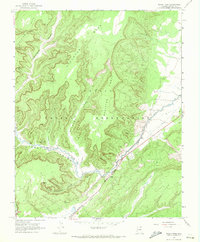
1968 · Marsh Pass
USGS Topo · 1:24,000