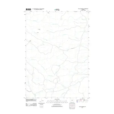
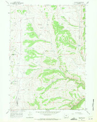
2012 Map of Tallon Spring
USGS Topo · Published 2012About this map
Tallon Spring and Deadmans Spring provide critical water points in this arid stretch of Washakie County, where the landscape is defined by the drainage network of Otter Creek. The various branches, including N Fork Otter Cr and S Fork Otter Cr, carve through distinct topographic formations such as Box Canyon and the sharply defined ridges of The Vees. This terrain is primarily accessed by a sparse network of specialized routes, most notably the Big Trails Stock Drive Rd, which indicates the area's continued importance for livestock movement. The presence of Otter Creek Vee and Eberhardt Vee highlights the dramatic V-shaped incisions made by seasonal flows, while Crooked Cr and N Fork Little Canyon Cr mark the southern margins of the survey area.
Find a feature on this map
15 named features on this map. Tap any name to fly to it.
Don’t see what you’re looking for? This feature index may not catch every label — zoom into the map to look around manually.
Map Details
Editions of this 2012 Tallon Spring Map
This is the sole edition of this map. No revisions or reprints were ever made.
Other maps of this area

1955 · Arminto
USGS Topo · 1:250,000

1958 · Arminto
USGS Topo · 1:250,000
1962 · Arminto
USGS Topo · 1:250,000
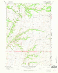
1966 · Monument Hill
USGS Topo · 1:24,000
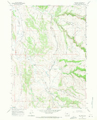
1966 · Big Trails
USGS Topo · 1:24,000
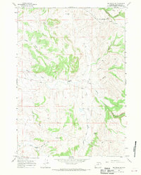
1966 · Big Trails NE
USGS Topo · 1:24,000
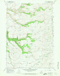
1966 · Tallon Spring
USGS Topo · 1:24,000
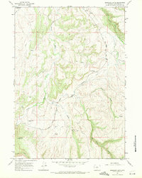
1967 · Mahogany Butte
USGS Topo · 1:24,000
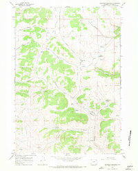
1967 · Beartrap Meadows
USGS Topo · 1:24,000
1967 · Tabletop
USGS Topo · 1:24,000