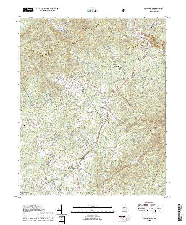
2024 Map of Tallulah Falls
USGS Topo · Published 2024About this map
Tallulah Falls serves as the focal point of this northeast Georgia landscape, perched above the dramatic descent where the Tallulah River carves through the mountains. The area's mid-century development is visible through a network of rural roads like The Orchard Rd and School Rd, connecting established mountain communities. While the terrain is dominated by peaks such as Apple Pie Mtn and Pigeon Mountain, the map also documents vital local landmarks for genealogists, including Mount Zion Baptist Cem and Ebenezer Methodist Cem. To the south, the settlement of Hollywood sits near Mathis Lake, showing the persistent footprint of small-town commerce along US Hwy 23. The inclusion of the Rockin R Airport near Turnerville highlights the intersection of modern aviation with the long-established boundaries of the Chattahoochee National Forest.
Find a feature on this map
160 named features on this map. Tap any name to fly to it.
Don’t see what you’re looking for? This feature index may not catch every label — zoom into the map to look around manually.
Map Details
Editions of this 2024 Tallulah Falls Map
This is the sole edition of this map. No revisions or reprints were ever made.
Other maps of this area

1886 · Dahlonega
USGS Topo · 1:125,000

1886 · Walhalla
USGS Topo · 1:125,000

1892 · Dahlonega
USGS Topo · 1:125,000

1892 · Walhalla
USGS Topo · 1:125,000

1896 · Walhalla
USGS Topo · 1:125,000

1896 · Dahlonega
USGS Topo · 1:125,000

1903 · Dahlonega
USGS Topo · 1:125,000

1953 · Tallulah Falls
USGS Topo · 1:24,000

1954 · Greenville
USGS Topo · 1:250,000
1957 · Lake Burton
USGS Topo · 1:24,000