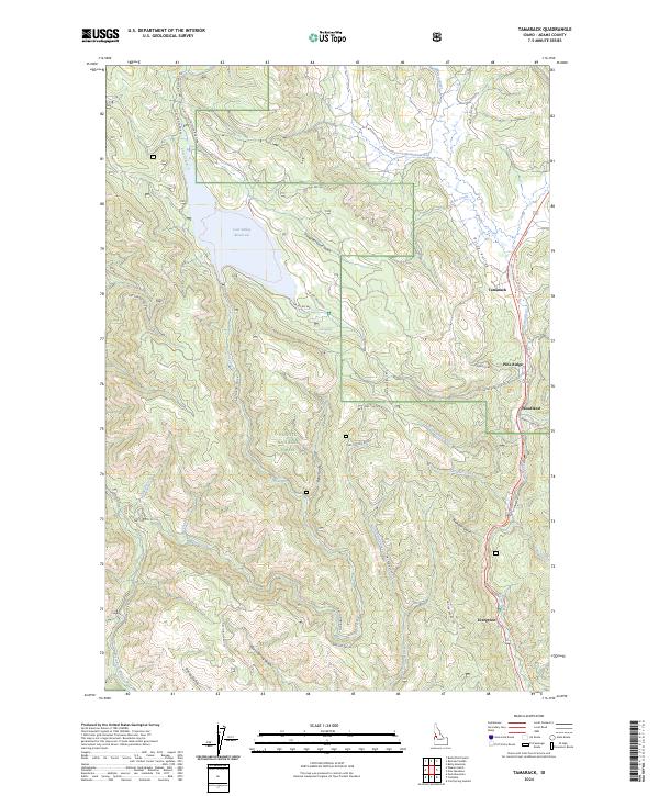
2024 Map of Tamarack
USGS Topo · Published 2024About this map
Lost Valley Reservoir dominates the high northwestern terrain of this region, serving as a significant hydrological anchor within the Payette National Forest. The landscape is defined by the drainage systems of Lost Creek and the Weiser River, which flows southward through the Price Valley. This corridor historically supported a string of small settlements and sidings, including Tamarack, Woodland, and Evergreen, situated along the river's path and the former rail line now preserved as the Weiser River National Recreation Trail.
Find a feature on this map
46 named features on this map. Tap any name to fly to it.
Don’t see what you’re looking for? This feature index may not catch every label — zoom into the map to look around manually.
Map Details
Editions of this 2024 Tamarack Map
This is the sole edition of this map. No revisions or reprints were ever made.
Other maps of this area

1911 · Meadows
USGS Topo · 1:125,000

1920 · Seven Devils Mining District
USGS Topo · 1:48,000

1938 · Riggins
USGS Topo · 1:96,000

1945 · Riggins
USGS Topo · 1:125,000

1954 · New Meadows
USGS Topo · 1:62,500

1955 · Baker
USGS Topo · 1:250,000

1955 · Grangeville
USGS Topo · 1:250,000

1957 · Cuprum
USGS Topo · 1:62,500

1957 · Hornet
USGS Topo · 1:62,500

1959 · Baker
USGS Topo · 1:250,000