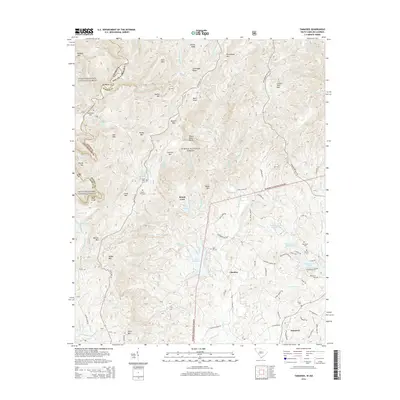
2014 Map of Tamassee
USGS Topo · Published 2014About this map
Cheohee and Tamassee anchor this corner of the Blue Ridge foothills, where the Georgia-South Carolina border is defined by the Chattooga River and its East Fork. The landscape is characterized by a series of prominent peaks and gaps including Chattooga Ridge, Mill Mtn, and the high basin of Moody Cove. Several dramatic cascades, such as Spoonauger Falls and Kings Creek Falls, drain these heights toward the river corridor.
Find a feature on this map
112 named features on this map. Tap any name to fly to it.
Don’t see what you’re looking for? This feature index may not catch every label — zoom into the map to look around manually.
Map Details
Editions of this 2014 Tamassee Map
This is the sole edition of this map. No revisions or reprints were ever made.
Other maps of this area

1886 · Walhalla
USGS Topo · 1:125,000

1888 · Pickens
USGS Topo · 1:125,000

1891 · Cowee
USGS Topo · 1:125,000

1892 · Walhalla
USGS Topo · 1:125,000

1894 · Pickens
USGS Topo · 1:125,000

1896 · Walhalla
USGS Topo · 1:125,000

1897 · Cowee
USGS Topo · 1:125,000

1905 · Pisgah
USGS Topo · 1:125,000

1906 · Pisgah
USGS Topo · 1:125,000

1907 · Cowee
USGS Topo · 1:125,000