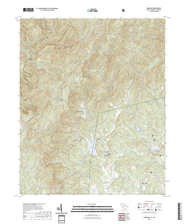
2024 Map of Tamassee
USGS Topo · Published 2024About this map
Tamassee and the Cheohee valley occupy this rugged intersection of the Blue Ridge, where the Georgia and South Carolina borders meet. The landscape is defined by its deep drainages and high points like Persimmon Mtn and Tamassee Knob, which historically isolated these mountain communities. For genealogists, the map is a dense record of family history, preserving sites like Wolf Pit Cem, Cherry Hill Cem, and the Whitmore Methodist Church Graveyard. Local infrastructure is shaped by the proximity of the Sumter National Forest and the protected waters of the Chattooga Wild and Scenic River. Small-scale water management is evident in the presence of Rochester Lake Number One and Rochester Lake Number Two, while recreational corridors such as the Foothills Trl and Chattooga Hiking Trl wind through the ridges near Moody Cove.
Find a feature on this map
116 named features on this map. Tap any name to fly to it.
Don’t see what you’re looking for? This feature index may not catch every label — zoom into the map to look around manually.
Map Details
Editions of this 2024 Tamassee Map
This is the sole edition of this map. No revisions or reprints were ever made.
Other maps of this area

1886 · Walhalla
USGS Topo · 1:125,000

1888 · Pickens
USGS Topo · 1:125,000

1891 · Cowee
USGS Topo · 1:125,000

1892 · Walhalla
USGS Topo · 1:125,000

1894 · Pickens
USGS Topo · 1:125,000

1896 · Walhalla
USGS Topo · 1:125,000

1897 · Cowee
USGS Topo · 1:125,000

1905 · Pisgah
USGS Topo · 1:125,000

1906 · Pisgah
USGS Topo · 1:125,000

1907 · Cowee
USGS Topo · 1:125,000