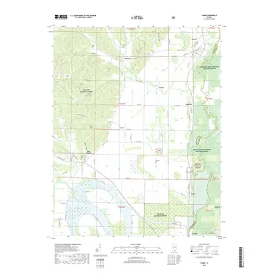
2018 Map of Tamms
USGS Topo · Published 2018About this map
Tamms and Olive Branch anchor the southern Illinois landscape of Alexander County, where the bottomlands of the Cache River meet the rising ground of the Gilson Hills. This modern survey reveals a region defined by extensive conservation and natural watercourses, including the Cypress Creek National Wildlife Refuge and the Shawnee National Forest. The map is particularly valuable for genealogical research, identifying numerous family-named burial sites such as Miller Cem, McRite Cem, and Hargis Cem scattered across the township lines. The southern portion of the quadrangle is dominated by the hydrologic complexity of the Horseshoe Lake area, where drainage features like Cypress Slough and Pigeon Roost Creek weave through the lowlands. Historic settlement patterns remain visible in smaller named localities like Diswood, Sandusky, and Unity, connected by a network of rural routes such as Old Mill Road and Sandy Creek Road.
Find a feature on this map
85 named features on this map. Tap any name to fly to it.
Don’t see what you’re looking for? This feature index may not catch every label — zoom into the map to look around manually.
Map Details
Editions of this 2018 Tamms Map
This is the sole edition of this map. No revisions or reprints were ever made.
Other maps of this area
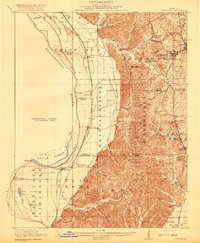
1920 · Jonesboro
USGS Topo · 1:62,500
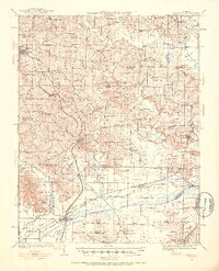
1920 · Dongola
USGS Topo · 1:62,500
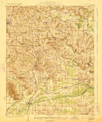
1923 · Dongola
USGS Topo · 1:62,500
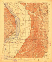
1923 · Jonesboro
USGS Topo · 1:62,500
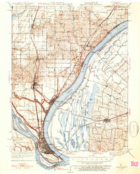
1931 · Cairo
USGS Topo · 1:62,500
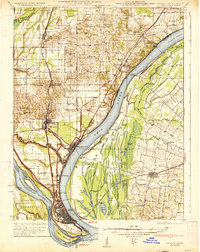
1933 · Cairo
USGS Topo · 1:62,500
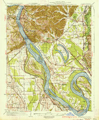
1934 · Thebes
USGS Topo · 1:62,500
1939 · Cairo
USGS Topo · 1:62,500
1939 · Thebes
USGS Topo · 1:62,500
1947 · Jonesboro
USGS Topo · 1:62,500