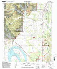
1996 Map of Tamms
USGS Topo · Published 1998About this map
The lowlands and wooded ridges of Alexander County are defined here by the winding Cache River and the sweeping curve of Horseshoe Lake. Within the Horseshoe Lake State Conservation Area, the landscape is a complex of wetlands, including Black Creek and several sloughs, while the Shawnee National Forest covers the upland terrain to the north. Small settlements such as Olive Branch, Diswood, and Unity dot the map, often situated near family burial grounds like Miller Cem and Childers Cem.
Find a feature on this map
40 named features on this map. Tap any name to fly to it.
Don’t see what you’re looking for? This feature index may not catch every label — zoom into the map to look around manually.
Map Details
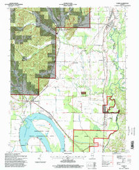
Editions of this 1996 Tamms Map
2 editions found
Other maps of this area

1920 · Jonesboro
USGS Topo · 1:62,500

1920 · Dongola
USGS Topo · 1:62,500

1923 · Dongola
USGS Topo · 1:62,500

1923 · Jonesboro
USGS Topo · 1:62,500

1931 · Cairo
USGS Topo · 1:62,500

1933 · Cairo
USGS Topo · 1:62,500

1934 · Thebes
USGS Topo · 1:62,500

1939 · Cairo
USGS Topo · 1:62,500

1939 · Thebes
USGS Topo · 1:62,500

1947 · Jonesboro
USGS Topo · 1:62,500