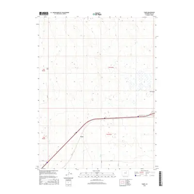
2016 Map of Tampa
USGS Topo · Published 2016About this map
Tampa anchors the southwestern corner of this Weld County landscape, situated at the intersection of Hwy 2 and Co Rd 20. The terrain is defined by dry drainage features and ephemeral watercourses, most notably Lost Cr, which snakes through the eastern half of the quadrangle before passing near Sand Canyon. The northern reaches are characterized by a series of draws, including Ennis Draw, highlighting the arid topographic relief typical of the high plains. Modern transportation infrastructure is prominent, with the corridor of Frontage Road I-76 cutting across the southeastern section. This survey captures a moment of agricultural transition where traditional section lines, marked by routes like Co Rd 59 and Co Rd 73, meet the expanding regional highway network.
Find a feature on this map
15 named features on this map. Tap any name to fly to it.
Don’t see what you’re looking for? This feature index may not catch every label — zoom into the map to look around manually.
Map Details
Editions of this 2016 Tampa Map
This is the sole edition of this map. No revisions or reprints were ever made.
Other maps of this area
1902 · Greeley
USGS Topo · 1:125,000
1950 · South Roggen
USGS Topo · 1:24,000
1950 · Tampa
USGS Topo · 1:24,000
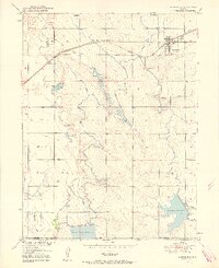
1950 · Keenesburg
USGS Topo · 1:24,000
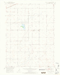
1950 · Prospect Valley
USGS Topo · 1:24,000
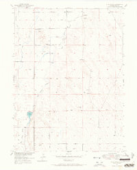
1950 · Klug Ranch
USGS Topo · 1:24,000
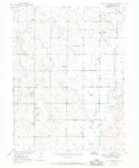
1950 · Valley View School
USGS Topo · 1:24,000
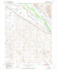
1950 · Hardin
USGS Topo · 1:24,000
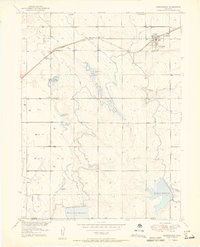
1951 · Keenesburg
USGS Topo · 1:24,000
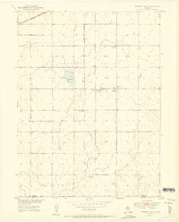
1951 · Prospect Valley
USGS Topo · 1:24,000