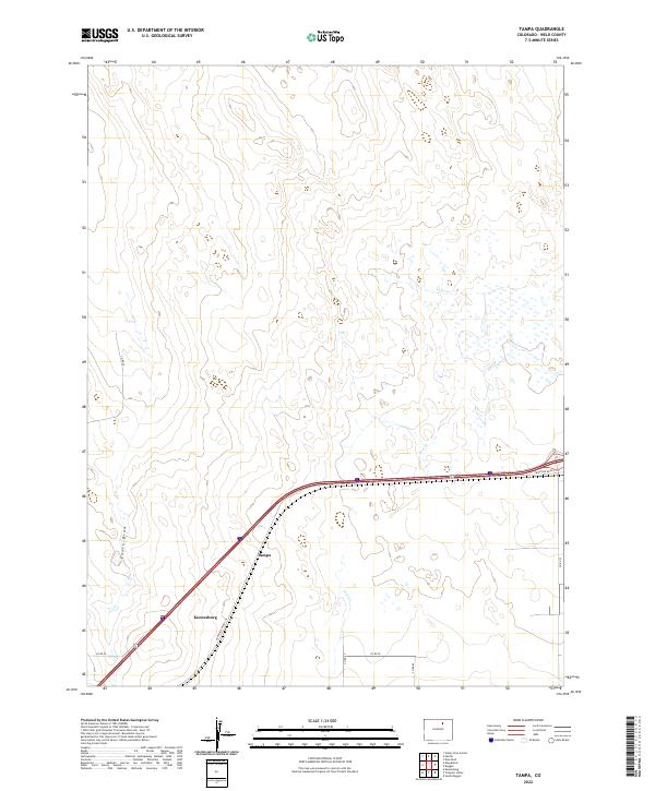
2022 Map of Tampa
USGS Topo · Published 2022About this map
Tampa and the nearby town of Keenesburg anchor this section of Weld County, positioned along the critical transit corridor of Frontage Road I-76. The landscape is defined by the intermittent drainage of Lost Creek, which winds through a grid-patterned agricultural expanse typical of the High Plains. The survey highlights the intersection of modern infrastructure and traditional land divisions, where gravel routes like Co Rd 59 and Co Rd 20 segment the prairie into large-scale ranching and farming tracts. This 2022 survey captures the area’s reliance on these managed water features and roadway networks, providing a clear view of the regional topography including the subtle depression of Ennis Draw.
Find a feature on this map
16 named features on this map. Tap any name to fly to it.
Don’t see what you’re looking for? This feature index may not catch every label — zoom into the map to look around manually.
Map Details
Editions of this 2022 Tampa Map
This is the sole edition of this map. No revisions or reprints were ever made.
Other maps of this area

1902 · Greeley
USGS Topo · 1:125,000

1950 · South Roggen
USGS Topo · 1:24,000

1950 · Tampa
USGS Topo · 1:24,000

1950 · Keenesburg
USGS Topo · 1:24,000

1950 · Prospect Valley
USGS Topo · 1:24,000

1950 · Klug Ranch
USGS Topo · 1:24,000

1950 · Valley View School
USGS Topo · 1:24,000

1950 · Hardin
USGS Topo · 1:24,000

1951 · Keenesburg
USGS Topo · 1:24,000

1951 · Prospect Valley
USGS Topo · 1:24,000