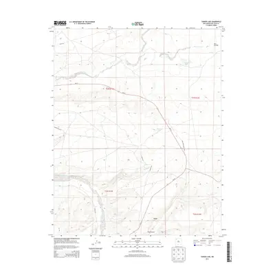
2013 Map of Tanner Lake
USGS Topo · Published 2013About this map
Tsaya sits as a primary point of reference in this arid San Juan County landscape, positioned near the mouth of Tsaya Canyon. The terrain is defined by a network of seasonal watercourses and unique landform names, including the aptly named Split Lip Flats in the northeast and the elevated region of Delnažini. Water, though ephemeral, dictates the geography here, with the Chaco River winding through the southwestern corner while the De-na-zin Wash and Coal Cr carve paths across the northern reaches.
Find a feature on this map
21 named features on this map. Tap any name to fly to it.
Don’t see what you’re looking for? This feature index may not catch every label — zoom into the map to look around manually.
Map Details
Editions of this 2013 Tanner Lake Map
This is the sole edition of this map. No revisions or reprints were ever made.
Other maps of this area
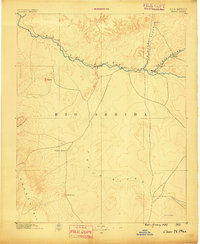
1889 · Chaco
USGS Topo · 1:250,000
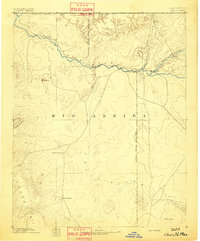
1892 · Chaco
USGS Topo · 1:250,000
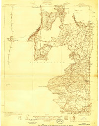
1927 · Sulphur Spring
USGS Topo · 1:96,000
1928 · Kirtland
USGS Topo · 1:125,000
1932 · Kirtland
USGS Topo · 1:125,000
1954 · Shiprock
USGS Topo · 1:250,000
1958 · Shiprock
USGS Topo · 1:250,000
1959 · Shiprock
USGS Topo · 1:250,000
1966 · Tanner Lake
USGS Topo · 1:24,000
1966 · Alamo Mesa East
USGS Topo · 1:24,000