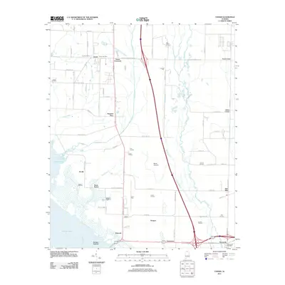
2011 Map of Tanner
USGS Topo · Published 2011About this map
Mooresville and the surrounding agricultural lowlands sit at the intersection of traditional Southern farming landscapes and modern transit corridors. This area of Limestone County is defined by the expansive waters of Wheeler Lake and the Tennessee River to the south, while the interior is a network of small settlements like Tanner, Harris Station, and Belle Mina. The landscape is dotted with family-named landmarks and historical burial sites, including the Polly Malone Cemetery, Macklin Cemetery, and Houston Cemetery, which serve as vital markers for local genealogists.
Find a feature on this map
81 named features on this map. Tap any name to fly to it.
Don’t see what you’re looking for? This feature index may not catch every label — zoom into the map to look around manually.
Map Details
Editions of this 2011 Tanner Map
This is the sole edition of this map. No revisions or reprints were ever made.
Other maps of this area

1888 · Huntsville
USGS Topo · 1:125,000

1892 · Huntsville
USGS Topo · 1:125,000

1935 · Athens
USGS Topo · 1:24,000

1936 · Capshaw
USGS Topo · 1:24,000

1936 · Decatur
USGS Topo · 1:24,000

1936 · Stewart Cross Roads
USGS Topo · 1:24,000

1936 · Ripley
USGS Topo · 1:24,000

1936 · Trinity
USGS Topo · 1:24,000

1936 · Mason Ridge
USGS Topo · 1:24,000

1936 · Tanner
USGS Topo · 1:24,000