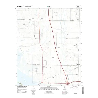
2014 Map of Tanner
USGS Topo · Published 2014About this map
The Tennessee River and the northern shores of Wheeler Lake anchor this 2014 survey of southern Limestone County. The landscape is a mix of agricultural tracts and industrial infrastructure, dominated by the north-south corridors of CSX Transportation and Interstate 65. The local aviation and educational hub at Pryor Field Regional Airport and John C Calhoun State Community College sits centrally, surrounded by scattered historic settlements like Tanner, Belle Mina, and the historic incorporated town of Mooresville near the riverbanks.
Find a feature on this map
95 named features on this map. Tap any name to fly to it.
Don’t see what you’re looking for? This feature index may not catch every label — zoom into the map to look around manually.
Map Details
Editions of this 2014 Tanner Map
This is the sole edition of this map. No revisions or reprints were ever made.
Other maps of this area

1888 · Huntsville
USGS Topo · 1:125,000

1892 · Huntsville
USGS Topo · 1:125,000

1935 · Athens
USGS Topo · 1:24,000

1936 · Capshaw
USGS Topo · 1:24,000

1936 · Decatur
USGS Topo · 1:24,000

1936 · Stewart Cross Roads
USGS Topo · 1:24,000

1936 · Ripley
USGS Topo · 1:24,000

1936 · Trinity
USGS Topo · 1:24,000

1936 · Mason Ridge
USGS Topo · 1:24,000

1936 · Tanner
USGS Topo · 1:24,000