
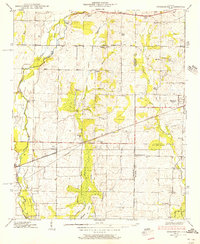
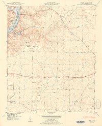
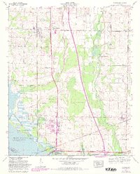
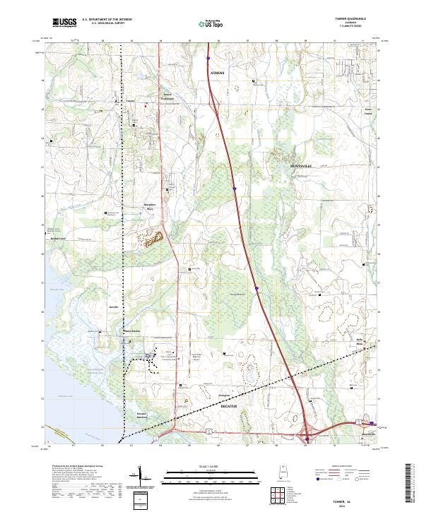
1938 Map of Tanner
USGS Topo · Published 1938About this map
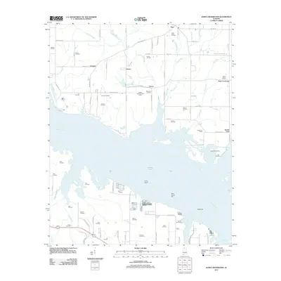
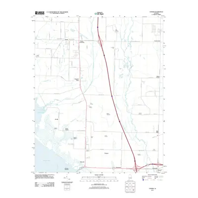
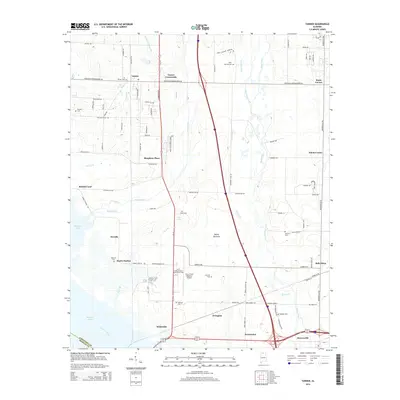
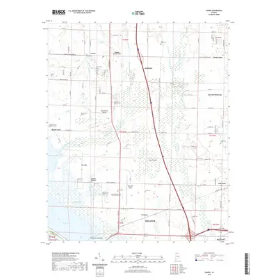
The Wheeler Reservoir defines the southwestern edge of this 1938 survey, illustrating the transformation of the Tennessee River valley during the early Tennessee Valley Authority era. The landscape is a transition from the river bottomlands at Hantie Bottoms to the established agricultural communities inland. The Bee Line Highway runs north-to-south, serving as a primary corridor through Tanner and past Stewarts Store. In the southeast, the historic layout of Mooresville and nearby Belle Mina is visible, including the Mooresville and Belle Mina Sch. Numerous family-named landmarks such as the Anderson Plantation and Murphree Place are documented, along with community focal points like Nazareth Ch and New Zion Ch. The presence of the Louisville and Nashville and Southern railroads highlights the vital transportation network supporting the region's rural economy.
Find a feature on this map
48 named features on this map. Tap any name to fly to it.
Don’t see what you’re looking for? This feature index may not catch every label — zoom into the map to look around manually.
Map Details
Editions of this 1938 Tanner Map
This is the sole edition of this map. No revisions or reprints were ever made.
Historical Maps of Huntsville Through Time
65 maps found

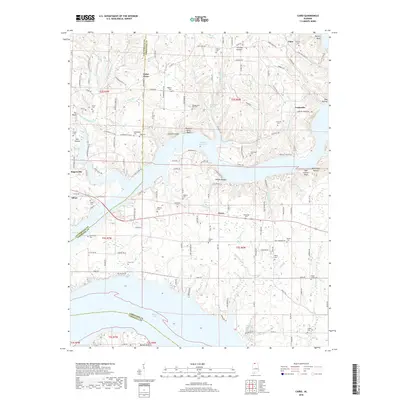
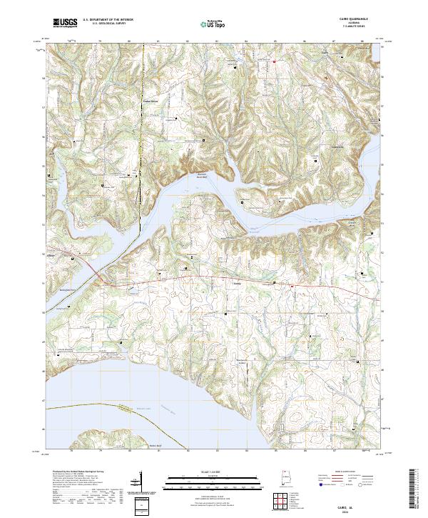
1936 Cairo
Limestone County, AL

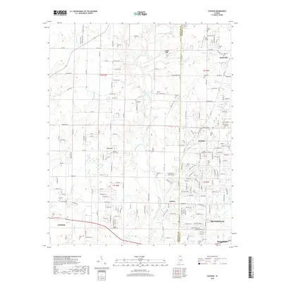
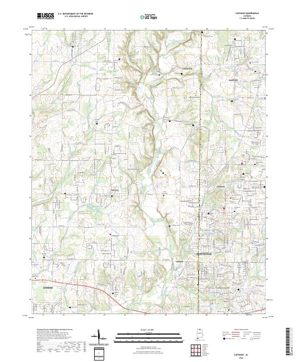
1936 Capshaw
Limestone County, AL

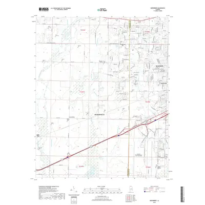
1936 Greenbrier
Limestone County, AL

1936 Ripley
Limestone County, AL

1936 Salem
Limestone County, AL

1936 Stewart Cross Roads
Limestone County, AL

1936 Tanner
Limestone County, AL

1936 Union Hill
Limestone County, AL
1938 Greenbrier
Limestone County, AL
1938 Tanner
Limestone County, AL
1948 Ripley
Limestone County, AL

1948 Salem
Limestone County, AL

1948 Union Hill
Limestone County, AL
1950 Cairo
Limestone County, AL
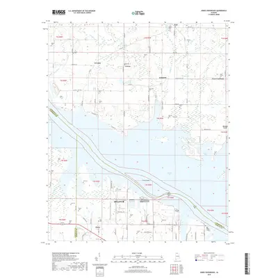
1950 Jones Crossroads
Limestone County, AL
1951 Ripley
Limestone County, AL
1951 Salem
Limestone County, AL

1951 Union Hill
Limestone County, AL
1958 Capshaw
Limestone County, AL
1963 Greenbrier
Limestone County, AL
1963 Tanner
Limestone County, AL
1975 Greenbrier
Limestone County, AL

1976 Jones Crossroads
Limestone County, AL
2010 Salem
Limestone County, AL
2010 Union Hill
Limestone County, AL
2011 Cairo
Limestone County, AL
2011 Capshaw
Limestone County, AL
2011 Greenbrier
Limestone County, AL
2011 Jones Crossroads
Limestone County, AL
2011 Ripley
Limestone County, AL
2011 Salem
Limestone County, AL
2011 Tanner
Limestone County, AL
2011 Union Hill
Limestone County, AL
2014 Cairo
Limestone County, AL
2014 Capshaw
Limestone County, AL
2014 Greenbrier
Limestone County, AL
2014 Jones Crossroads
Limestone County, AL
2014 Ripley
Limestone County, AL
2014 Salem
Limestone County, AL
2014 Tanner
Limestone County, AL
2014 Union Hill
Limestone County, AL
2018 Cairo
Limestone County, AL
2018 Capshaw
Limestone County, AL
2018 Greenbrier
Limestone County, AL
2018 Jones Crossroads
Limestone County, AL
2018 Ripley
Limestone County, AL
2018 Salem
Limestone County, AL

2018 Tanner
Limestone County, AL
2018 Union Hill
Limestone County, AL
2020 Cairo
Limestone County, AL
2020 Capshaw
Limestone County, AL
2020 Greenbrier
Limestone County, AL
2020 Jones Crossroads
Limestone County, AL

2020 Ripley
Limestone County, AL
2020 Salem
Limestone County, AL
2020 Tanner
Limestone County, AL
2020 Union Hill
Limestone County, AL
2024 Cairo
Limestone County, AL
2024 Capshaw
Limestone County, AL
2024 Greenbrier
Limestone County, AL

2024 Jones Crossroads
Limestone County, AL
2024 Ripley
Limestone County, AL
2024 Salem
Limestone County, AL
2024 Tanner
Limestone County, AL

2024 Union Hill
Limestone County, AL