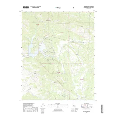
2018 Map of Tar Spring Ridge
USGS Topo · Published 2018About this map
Arroyo Grande Valley and the northern reaches of the Los Padres National Forest define this landscape, where steep canyons and high ridges converge at Lopez Lake. The area's complex topography is mapped through a series of prominent divides, including Tar Spring Ridge and Saucelito Ridge, which separate the drainage basins of Arroyo Grande Cr and Huasna Cr. A detailed network of forest access routes like High Ridge Fire Road, Duna Vista Loop, and Cougar Canyon Way indicates the intensive management of this protected wildland. The map provides a close look at the transitional terrain between the valley floor and the high peaks of Big Baldy and Lopez Canyon, documenting the various spurs and trails that navigate the Canyon de los Alisos and the more open terrain at Washington Flat.
Find a feature on this map
64 named features on this map. Tap any name to fly to it.
Don’t see what you’re looking for? This feature index may not catch every label — zoom into the map to look around manually.
Map Details
Editions of this 2018 Tar Spring Ridge Map
This is the sole edition of this map. No revisions or reprints were ever made.
Other maps of this area
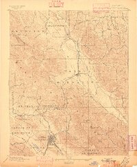
1897 · San Luis Obispo
USGS Topo · 1:62,500
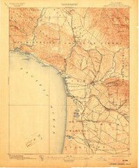
1897 · Arroyo Grande
USGS Topo · 1:62,500
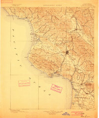
1900 · San Luis
USGS Topo · 1:125,000
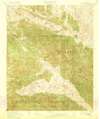
1922 · Pozo
USGS Topo · 1:62,500
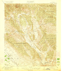
1922 · Nipomo
USGS Topo · 1:62,500
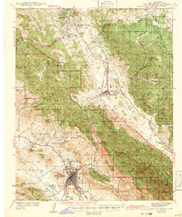
1942 · San Luis Obispo
USGS Topo · 1:62,500
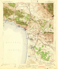
1942 · Arroyo Grande
USGS Topo · 1:62,500
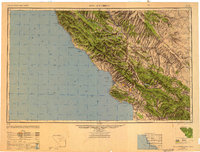
1947 · San Luis Obispo
USGS Topo · 1:250,000
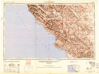
1948 · San Luis Obispo
USGS Topo · 1:250,000
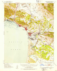
1952 · Arroyo Grande
USGS Topo · 1:62,500