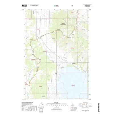
2020 Map of Targhee Peak
USGS Topo · Published 2020About this map
Henrys Lake dominates the southern portion of this region, serving as a focal point for high-elevation drainage and local recreation. The map traces the winding Continental Divide National Scenic Trail as it follows the ridge lines between Idaho and Montana, crossing through the Henrys Lake Mountains. This 2020 survey illustrates the convergence of three major public lands: Gallatin National Forest, Targhee National Forest, and Beaverhead National Forest.
Find a feature on this map
56 named features on this map. Tap any name to fly to it.
Don’t see what you’re looking for? This feature index may not catch every label — zoom into the map to look around manually.
Map Details
Editions of this 2020 Targhee Peak Map
This is the sole edition of this map. No revisions or reprints were ever made.
Other maps of this area

1950 · Cliff Lake
USGS Topo · 1:62,500

1950 · Hebgen Dam
USGS Topo · 1:62,500

1950 · Upper Red Rock Lake
USGS Topo · 1:62,500

1955 · Ashton
USGS Topo · 1:250,000

1958 · Ashton
USGS Topo · 1:250,000

1960 · Ashton
USGS Topo · 1:250,000

1964 · Targhee Pass
USGS Topo · 1:24,000

1964 · Targhee Peak
USGS Topo · 1:24,000

1964 · Sawtell PK
USGS Topo · 1:24,000

1964 · Big Springs
USGS Topo · 1:24,000