
1950 Map of Upper Red Rock Lake
USGS Topo · Published 1954About this map
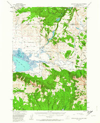
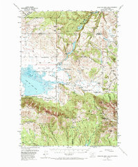
The Centennial Valley high country is captured here during the post-war era, showing a landscape defined by the Red Rock Lakes National Wildlife Refuge and large-scale ranching operations. The expansive waters of Upper Red Rock Lake and Swan Lake dominate the western flats, while the Continental Divide forms a sharp natural boundary to the south. This 1950 survey documents a network of family-owned holdings like the Hanson Ranch, Cook Sheep Ranch, and Orr Ranch that existed alongside emerging recreation spots such as Selby Resort on the shores of Elk Lake. Beyond the valley floor, the map details the transition into the Beaverhead National Forest, where pack trails and jeep trails wind toward high-elevation landmarks like Mt Jefferson and Nemesis Mtn, illustrating the dual uses of the land for livestock grazing and wilderness access.
Find a feature on this map
84 named features on this map. Tap any name to fly to it.
Don’t see what you’re looking for? This feature index may not catch every label — zoom into the map to look around manually.
Map Details
Editions of this 1950 Upper Red Rock Lake Map
3 editions found
Other maps of this area

1950 · Cliff Lake
USGS Topo · 1:62,500

1950 · Hebgen Dam
USGS Topo · 1:62,500

1950 · Lower Red Rock Lake
USGS Topo · 1:62,500

1950 · Monument Ridge
USGS Topo · 1:62,500

1955 · Ashton
USGS Topo · 1:250,000

1958 · Ashton
USGS Topo · 1:250,000

1960 · Ashton
USGS Topo · 1:250,000

1964 · Island Park Dam
USGS Topo · 1:24,000

1964 · Targhee Peak
USGS Topo · 1:24,000

1964 · Sawtell PK
USGS Topo · 1:24,000