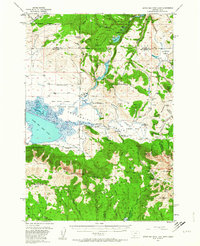
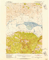
1950 Map of Upper Red Rock Lake
USGS Topo · Published 1964About this map
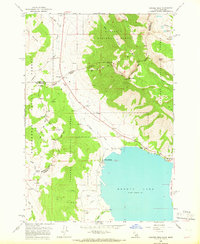
Centennial Valley and the high peaks of the Centennial Mountains dominate this 1950 survey, showcasing a landscape defined by the Continental Divide and the waters of Upper Red Rock Lake. The area serves as a critical junction of ranching and conservation, with the Red Rock Lakes National Wildlife Refuge protecting the marshes of Swan Lake while several family-run operations like the Hanson Ranch and Cook Sheep Ranch dot the valley floor.
Find a feature on this map
89 named features on this map. Tap any name to fly to it.
Don’t see what you’re looking for? This feature index may not catch every label — zoom into the map to look around manually.
Map Details
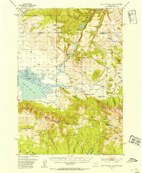
Editions of this 1950 Upper Red Rock Lake Map
3 editions found
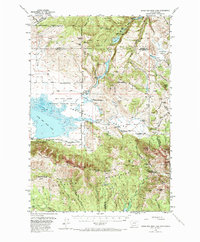
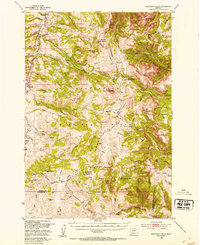
Other maps of this area
1950 · Cliff Lake
USGS Topo · 1:62,500
1950 · Hebgen Dam
USGS Topo · 1:62,500
1950 · Lower Red Rock Lake
USGS Topo · 1:62,500
1950 · Monument Ridge
USGS Topo · 1:62,500
1950 · Upper Red Rock Lake
USGS Topo · 1:62,500

1955 · Ashton
USGS Topo · 1:250,000

1958 · Ashton
USGS Topo · 1:250,000

1960 · Ashton
USGS Topo · 1:250,000
1964 · Island Park Dam
USGS Topo · 1:24,000
1964 · Targhee Peak
USGS Topo · 1:24,000