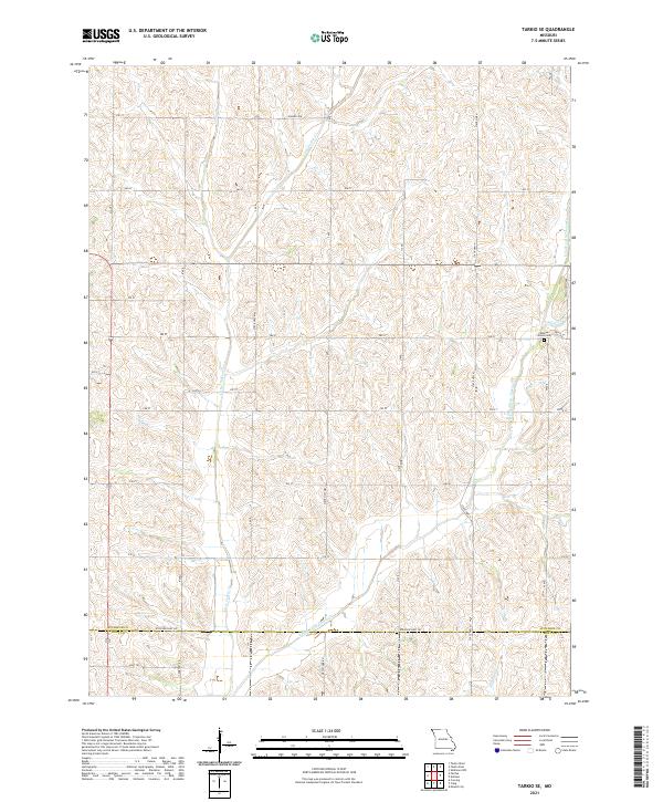
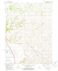
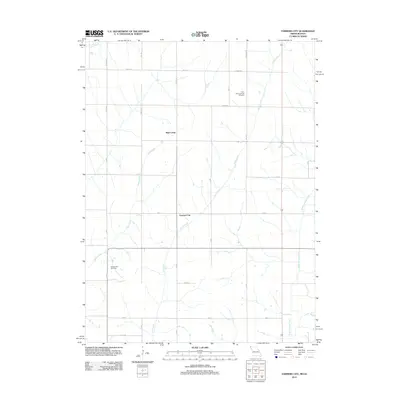
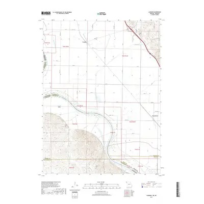
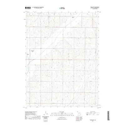
2021 Map of Tarkio SE
USGS Topo · Published 2021About this map
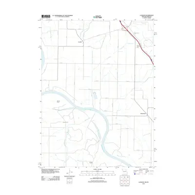
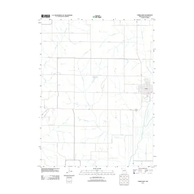
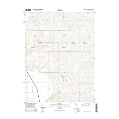
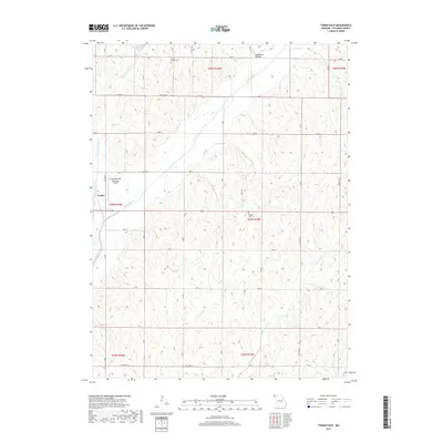
Little Tarkio Cr and its tributaries, including Long Br and Hickory Br, carve a dense drainage pattern through the agricultural lands of Northwest Missouri. The landscape is defined by the boundary between Atchison Co and Holt Co, where a rectilinear grid of section roads like Hansen Ave and 280 St accommodates the undulating topography. The Walkup Grove Cem remains a significant point of local interest near the eastern edge of the quadrangle, situated just south of 280 St.
Find a feature on this map
24 named features on this map. Tap any name to fly to it.
Don’t see what you’re looking for? This feature index may not catch every label — zoom into the map to look around manually.
Map Details
Editions of this 2021 Tarkio SE Map
This is the sole edition of this map. No revisions or reprints were ever made.
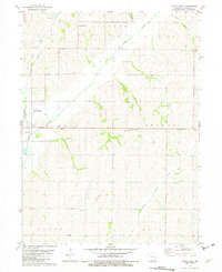
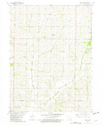
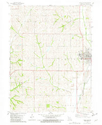
Historical Maps of Atchison County Through Time
39 maps found
1966 Langdon
Atchison County, MO
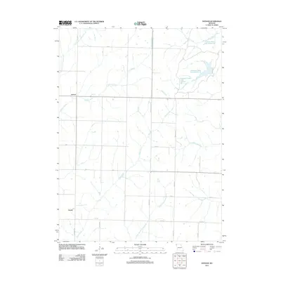
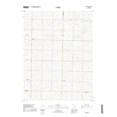
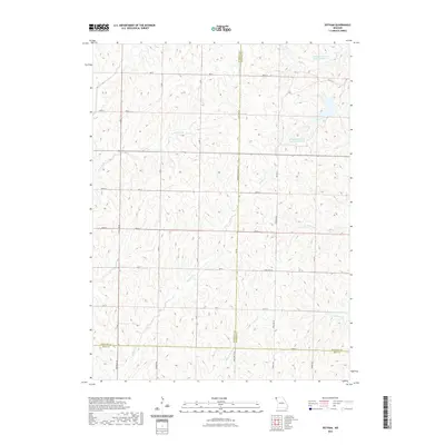
1981 Dotham
Atchison County, MO
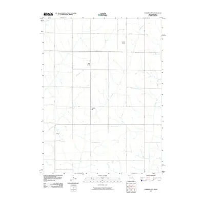
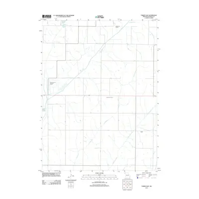
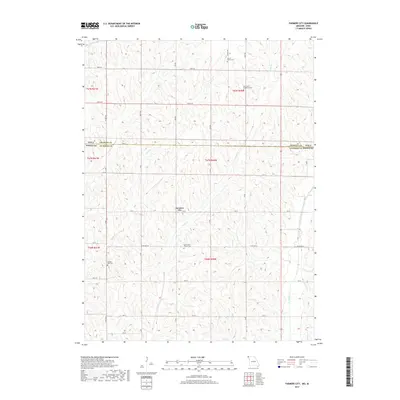
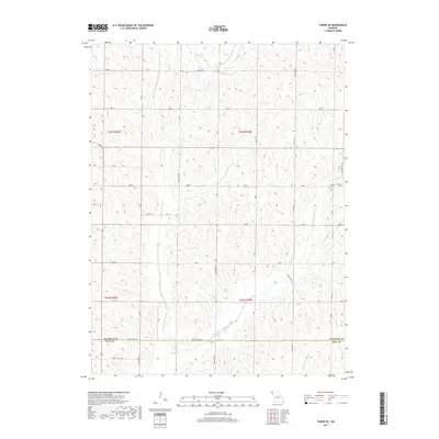
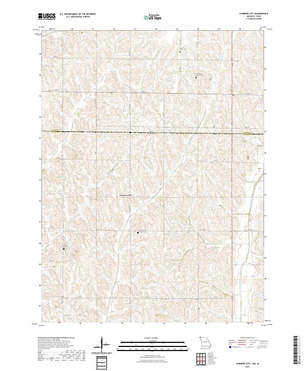
1981 Farmers City
Atchison County, MO
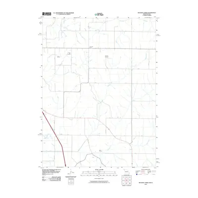
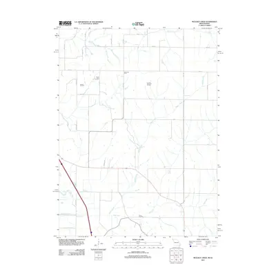
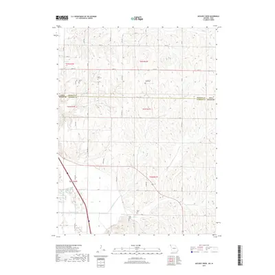
1981 McElroy Creek
Atchison County, MO
1981 Tarkio East
Atchison County, MO
1981 Tarkio SE
Atchison County, MO
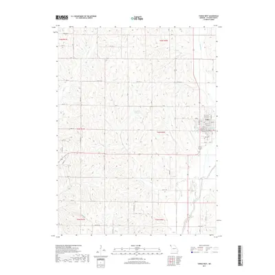
1981 Tarkio West
Atchison County, MO
2010 Farmers City
Atchison County, MO
2010 McElroy Creek
Atchison County, MO
2012 Dotham
Atchison County, MO
2012 Farmers City
Atchison County, MO
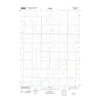
2012 Langdon
Atchison County, MO
2012 McElroy Creek
Atchison County, MO
2012 Tarkio East
Atchison County, MO
2012 Tarkio SE
Atchison County, MO
2012 Tarkio West
Atchison County, MO
2014 Dotham
Atchison County, MO
2014 Farmers City
Atchison County, MO
2014 Langdon
Atchison County, MO
2014 McElroy Creek
Atchison County, MO
2014 Tarkio East
Atchison County, MO
2014 Tarkio SE
Atchison County, MO
2014 Tarkio West
Atchison County, MO
2017 Dotham
Atchison County, MO
2017 Farmers City
Atchison County, MO
2017 Langdon
Atchison County, MO
2017 McElroy Creek
Atchison County, MO
2017 Tarkio East
Atchison County, MO
2017 Tarkio SE
Atchison County, MO
2017 Tarkio West
Atchison County, MO
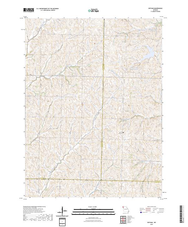
2021 Dotham
Atchison County, MO
2021 Farmers City
Atchison County, MO
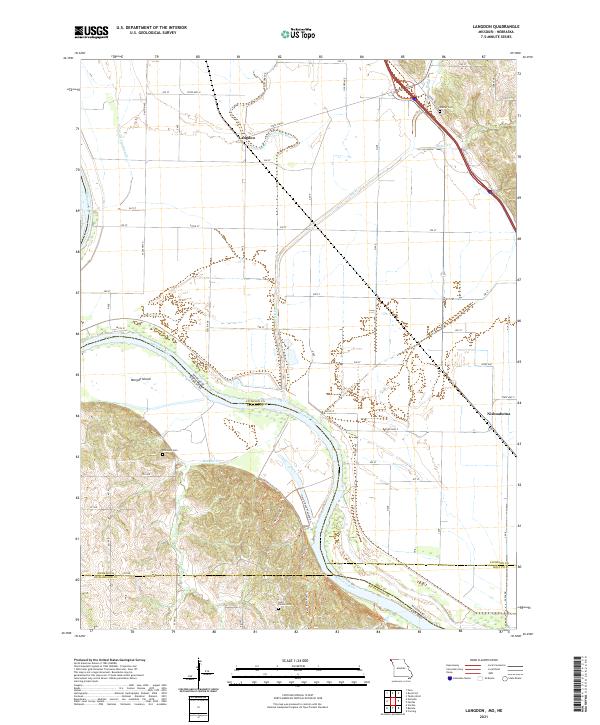
2021 Langdon
Atchison County, MO
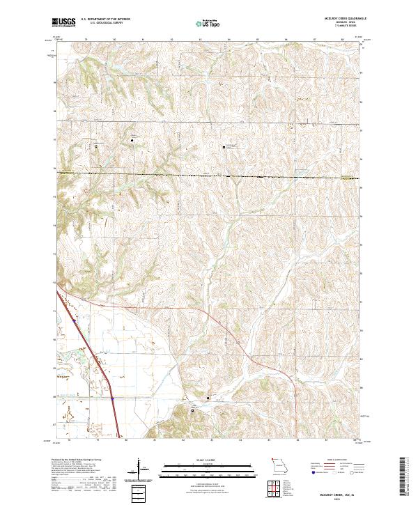
2021 McElroy Creek
Atchison County, MO
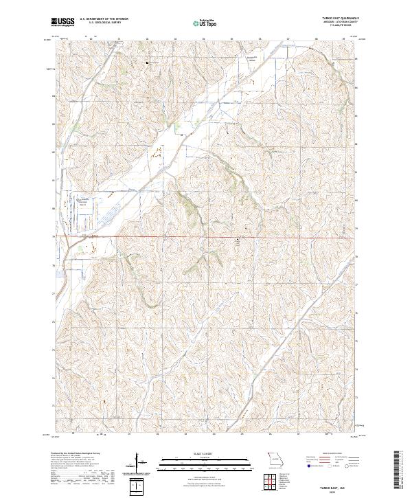
2021 Tarkio East
Atchison County, MO
2021 Tarkio SE
Atchison County, MO
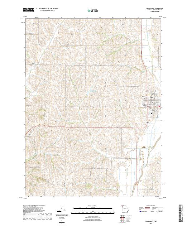
2021 Tarkio West
Atchison County, MO
2023 Dotham
Atchison County, MO
2023 Tarkio East
Atchison County, MO