2021 Map of Tarnov
USGS Topo · Published 2021About this map
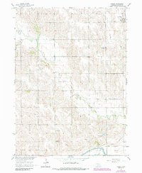
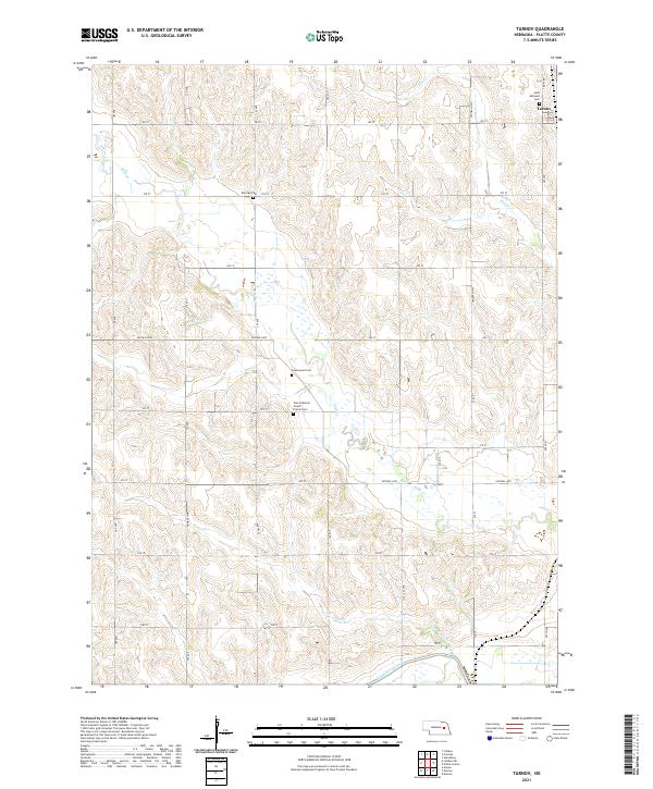
Tarnov serves as the primary settlement center in this section of Platte County, where the plains are defined by a network of drainage systems and rural cemeteries. The landscape is marked by the courses of Shell Cr, Elm Cr, and Lost Cr, which flow through a structured grid of rural section roads. For those researching local heritage, the map identifies several distinct burial sites including Saint Michaels Cem, Burrows Cem, and Zion Lutheran Grand Prairie Cem. Water management is a significant feature of the southern terrain, where the Loup River Canal and the Lost Cr Ditch represent efforts to control and direct the flow of local waterways. This 2021 update from the U.S. Geological Survey provides an accurate record of the township boundaries for T19N R3W and T18N R2W, showing the enduring agricultural layout of the region.
Find a feature on this map
26 named features on this map. Tap any name to fly to it.
Don’t see what you’re looking for? This feature index may not catch every label — zoom into the map to look around manually.
Map Details
Editions of this 2021 Tarnov Map
This is the sole edition of this map. No revisions or reprints were ever made.
Historical Maps of Tarnov Through Time
5 maps found