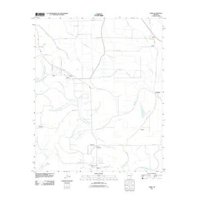
2011 Map of Tarry
USGS Topo · Published 2011About this map
Bayou Bartholomew snakes through this low-lying landscape, defining the character of the region south of Tamo. The 2011 survey reveals a territory marked by dispersed settlements like Terry, Tarry, and Whitefield, connected by an intricate grid of rural routes such as County Rd-14 and Townsend Rd. The map illustrates a drainage-focused landscape where Cousart Bayou and Deep Bayou converge toward the main waterway, supporting the agricultural life of the area. Genealogists and local historians can pinpoint community centers at Yorktown and Nebo, along with essential landmarks like the New Macedonia Cemetery and White Church Cemetery. Infrastructure features such as the Atkinson Ford Bridge and Clowers Lake Dam further highlight how the residents have managed the water-rich terrain of southeastern Arkansas.
Find a feature on this map
45 named features on this map. Tap any name to fly to it.
Don’t see what you’re looking for? This feature index may not catch every label — zoom into the map to look around manually.
Map Details
Editions of this 2011 Tarry Map
This is the sole edition of this map. No revisions or reprints were ever made.
Other maps of this area

1935 · Feenyville
USGS Topo · 1:62,500

1935 · Varner
USGS Topo · 1:62,500

1935 · Noble Lake
USGS Topo · 1:62,500

1935 · Rotan
USGS Topo · 1:62,500

1948 · Helena
USGS Topo · 1:250,000

1950 · Helena
USGS Topo · 1:250,000

1953 · Greenwood
USGS Topo · 1:250,000

1955 · Helena
USGS Topo · 1:250,000

1956 · Greenwood
USGS Topo · 1:250,000

1959 · Helena
USGS Topo · 1:250,000