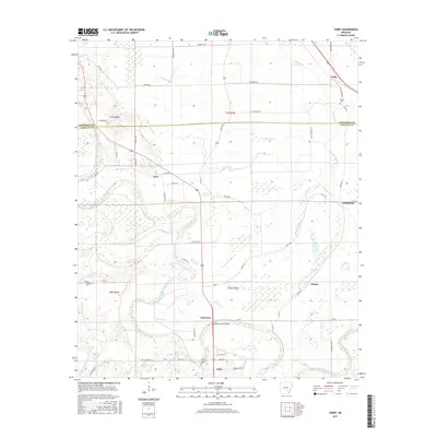
2017 Map of Tarry
USGS Topo · Published 2017About this map
Bayou Bartholomew winds through this landscape on the Jefferson Co Lincoln Co border, anchoring a region of oxbow lakes and wetlands. The intricate waterway system includes Marks Lake, Clowers Lake, and numerous swampy brakes like Benyer Brakes and Sneeds Brake. These natural features dictated the early settlement patterns of rural communities such as Tamo, Tarry, and Yorktown.
Find a feature on this map
67 named features on this map. Tap any name to fly to it.
Don’t see what you’re looking for? This feature index may not catch every label — zoom into the map to look around manually.
Map Details
Editions of this 2017 Tarry Map
This is the sole edition of this map. No revisions or reprints were ever made.
Other maps of this area

1935 · Feenyville
USGS Topo · 1:62,500

1935 · Varner
USGS Topo · 1:62,500

1935 · Noble Lake
USGS Topo · 1:62,500

1935 · Rotan
USGS Topo · 1:62,500

1948 · Helena
USGS Topo · 1:250,000

1950 · Helena
USGS Topo · 1:250,000

1953 · Greenwood
USGS Topo · 1:250,000

1955 · Helena
USGS Topo · 1:250,000

1956 · Greenwood
USGS Topo · 1:250,000

1959 · Helena
USGS Topo · 1:250,000