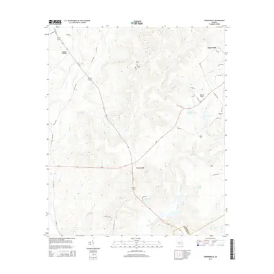
2014 Map of Tarversville
USGS Topo · Published 2014About this map
Tarversville serves as the central hub of this Georgia landscape, where the intersections of modern thoroughfares like Ga-96 and Ga-87 overlay an older network of rural settlements. The topography is defined by a dense system of watercourses including Richland Cr, Savage Cr, and Shellstone Cr, which carve through the terrain and feed several named basins such as Hendrick Pond and Faulk Lake. This area, situated on the border of Twiggs Co and Bleckley Co, retains a strong connection to its family and community roots through its numerous burial grounds. Genealogists and local historians will find several notable sites, including New Hope Cem, Faulk Cem, and English Cem. The small settlements of Mount Olive and Mount Calvary stand as quiet landmarks within this rural expanse, connected by a web of local roads such as Adams Park Rd and Herrington Rd that trace the historical movement of residents between these dispersed communities.
Find a feature on this map
49 named features on this map. Tap any name to fly to it.
Don’t see what you’re looking for? This feature index may not catch every label — zoom into the map to look around manually.
Map Details
Editions of this 2014 Tarversville Map
This is the sole edition of this map. No revisions or reprints were ever made.
Other maps of this area

1956 · Cochran
USGS Topo · 1:62,500

1956 · Perry
USGS Topo · 1:62,500

1956 · Warner Robins
USGS Topo · 1:62,500

1956 · Jeffersonville
USGS Topo · 1:62,500

1957 · Macon
USGS Topo · 1:250,000

1958 · Macon
USGS Topo · 1:250,000

1964 · Macon
USGS Topo · 1:250,000

1973 · Hayneville
USGS Topo · 1:24,000

1973 · Warner Robins NE
USGS Topo · 1:24,000

1973 · Tarversville
USGS Topo · 1:24,000