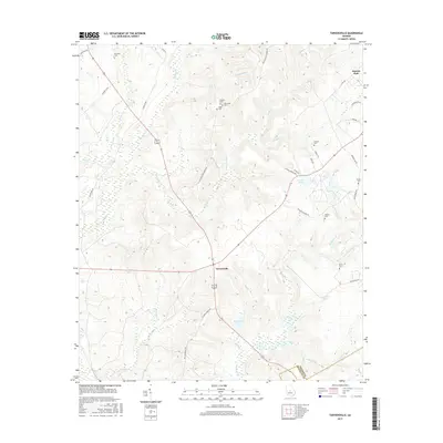
2017 Map of Tarversville
USGS Topo · Published 2017About this map
Tarversville sits as a central junction within this 2017 landscape, where the agricultural traditions of Twiggs Co meet the border of Bleckley Co. This survey documents a rural Georgia community defined by a high concentration of family burial grounds and small creek systems. Names like English Cem, Faulk Cem, and Walters Cem reflect a deep-rooted lineage of local landholders. The terrain is marked by significant hydrological features, including the winding course of Richland Creek and numerous tributaries such as Savage Cr and Shellstone Cr. The presence of Faulk Lake and Hendrick Pond suggests the importance of managed water resources in this part of the state. Settlement patterns remain dispersed, focused around historic crossroads and family estates, with District Path and several ponds anchoring the eastern and southern reaches of the quadrangle.
Find a feature on this map
47 named features on this map. Tap any name to fly to it.
Don’t see what you’re looking for? This feature index may not catch every label — zoom into the map to look around manually.
Map Details
Editions of this 2017 Tarversville Map
This is the sole edition of this map. No revisions or reprints were ever made.
Other maps of this area

1956 · Cochran
USGS Topo · 1:62,500

1956 · Perry
USGS Topo · 1:62,500

1956 · Warner Robins
USGS Topo · 1:62,500

1956 · Jeffersonville
USGS Topo · 1:62,500

1957 · Macon
USGS Topo · 1:250,000

1958 · Macon
USGS Topo · 1:250,000

1964 · Macon
USGS Topo · 1:250,000

1973 · Hayneville
USGS Topo · 1:24,000

1973 · Warner Robins NE
USGS Topo · 1:24,000

1973 · Tarversville
USGS Topo · 1:24,000