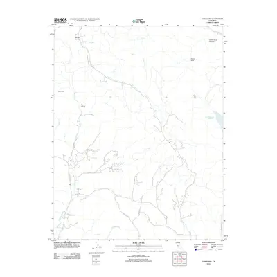
2012 Map of Tassajara
USGS Topo · Published 2012About this map
Tassajara and the historic ranching lands of the Black Hills characterize this corridor of the Diablo Range in the early 21st century. The map details the transition from the concentrated settlement at Tassajara toward the open protected spaces of the north and east, including the extensive drainage basin of Marsh Cr and the waters of the Los Vaqueros Reservoir. Regional transport is defined by long-established routes like Camino Tassajara and Morgan Territory Rd, which wind through a landscape shaped by creek systems such as Tassajara Cr and Sycamore Cr.
Find a feature on this map
26 named features on this map. Tap any name to fly to it.
Don’t see what you’re looking for? This feature index may not catch every label — zoom into the map to look around manually.
Map Details
Editions of this 2012 Tassajara Map
This is the sole edition of this map. No revisions or reprints were ever made.
Other maps of this area

1896 · Mt. Diablo
USGS Topo · 1:62,500

1898 · Mt. Diablo
USGS Topo · 1:62,500

1906 · Pleasanton
USGS Topo · 1:62,500

1907 · Tesla
USGS Topo · 1:62,500

1911 · Byron Hot Springs
USGS Topo · 1:31,680

1914 · Brentwood
USGS Topo · 1:31,680

1916 · Lone Tree Valley
USGS Topo · 1:31,680

1916 · Byron Hot Springs
USGS Topo · 1:31,680

1916 · Byron
USGS Topo · 1:62,500

1940 · Byron
USGS Topo · 1:62,500