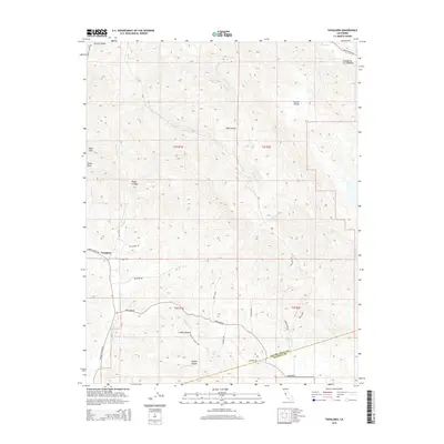
2015 Map of Tassajara
USGS Topo · Published 2015About this map
Tassajara sits at the convergence of mountain ridges and creek beds along the Contra Costa and Alameda County border. This survey reveals a landscape defined by deep drainages and high points like Oyster Point and the Black Hills, where the transition from high ridgelines to the valley floor is marked by winding thoroughfares such as Camino Tassajara. The map provides a look at the rural canyon economies of the East Bay, showing the importance of local water sources like Sycamore Spring and the complex network of seasonal creeks including Marsh Creek, Sycamore Creek, and Tassajara Creek. Evidence of early land divisions is clear in the Cañada De Los Poblanos and the varied terrain of Round Valley, which serve as landmarks in this traditionally ranching-oriented region between Riggs Canyon and Doolan Canyon.
Find a feature on this map
39 named features on this map. Tap any name to fly to it.
Don’t see what you’re looking for? This feature index may not catch every label — zoom into the map to look around manually.
Map Details
Editions of this 2015 Tassajara Map
This is the sole edition of this map. No revisions or reprints were ever made.
Other maps of this area
1896 · Mt. Diablo
USGS Topo · 1:62,500
1898 · Mt. Diablo
USGS Topo · 1:62,500
1906 · Pleasanton
USGS Topo · 1:62,500
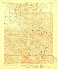
1907 · Tesla
USGS Topo · 1:62,500
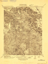
1911 · Byron Hot Springs
USGS Topo · 1:31,680
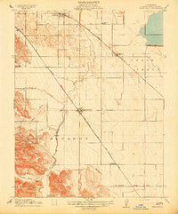
1914 · Brentwood
USGS Topo · 1:31,680
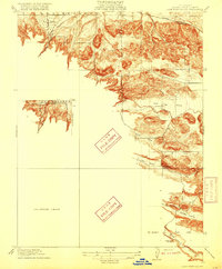
1916 · Lone Tree Valley
USGS Topo · 1:31,680
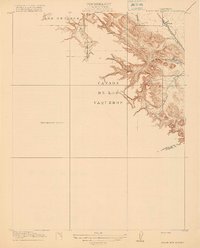
1916 · Byron Hot Springs
USGS Topo · 1:31,680
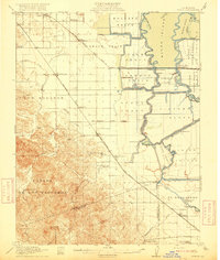
1916 · Byron
USGS Topo · 1:62,500
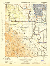
1940 · Byron
USGS Topo · 1:62,500