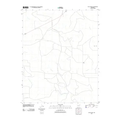
2010 Map of Tate School
USGS Topo · Published 2010About this map
Tate School stands as a focal point in this high plains landscape of Union County, reflecting the area's rural educational heritage. The terrain is defined by an intricate network of waterways including Carrizo Creek and Leon Creek, which carve through the land before merging with the South Fork Leon Creek. The Cedar Hills rise in the east, providing a distinct topographic break in the otherwise steady drainage patterns of the region. This 2010 survey illustrates a sparse infrastructure of county roads, such as County Hwy C-040 and County Rd-C031, that navigate the drainages of Garcia Creek and connect isolated ranchlands. The map serves as a detailed record of the geography surrounding these historical rural landmarks at the start of the 21st century.
Find a feature on this map
10 named features on this map. Tap any name to fly to it.
Don’t see what you’re looking for? This feature index may not catch every label — zoom into the map to look around manually.
Map Details
Editions of this 2010 Tate School Map
This is the sole edition of this map. No revisions or reprints were ever made.
Other maps of this area
1954 · Dalhart
USGS Topo · 1:250,000
1958 · Dalhart
USGS Topo · 1:250,000
1962 · Dalhart
USGS Topo · 1:250,000
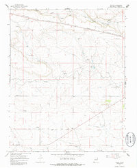
1966 · Royce
USGS Topo · 1:24,000
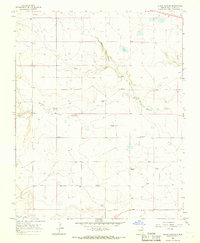
1966 · Black Canyon
USGS Topo · 1:24,000
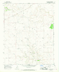
1966 · Tate School
USGS Topo · 1:24,000
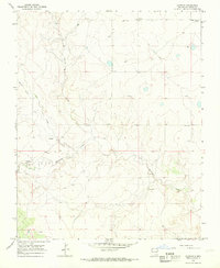
1966 · Clapham
USGS Topo · 1:24,000
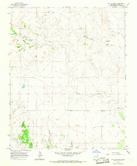
1966 · Car Top Butte
USGS Topo · 1:24,000
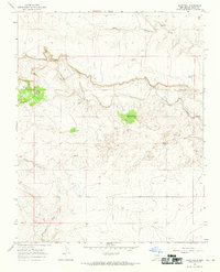
1966 · Sand Hill
USGS Topo · 1:24,000
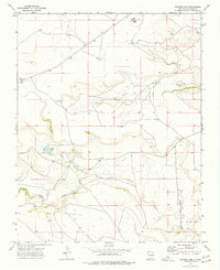
1973 · Snyder Lake
USGS Topo · 1:24,000