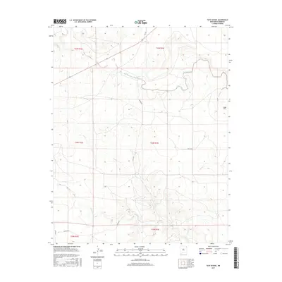
2017 Map of Tate School
USGS Topo · Published 2017About this map
Tate School stands as a primary landmark in this corner of Union County, reflecting the sparse, rural settlement patterns of the high plains. The landscape is defined by the intricate drainage systems of Carrizo Creek and Leon Cr, which weave through the terrain alongside the S Fork Leon Cr and Trabajo Cr. These waterways are the lifeblood of the ranching country, creating the subtle relief that characterizes the area north of the Cedar Hills.
Find a feature on this map
19 named features on this map. Tap any name to fly to it.
Don’t see what you’re looking for? This feature index may not catch every label — zoom into the map to look around manually.
Map Details
Editions of this 2017 Tate School Map
This is the sole edition of this map. No revisions or reprints were ever made.
Other maps of this area
1954 · Dalhart
USGS Topo · 1:250,000
1958 · Dalhart
USGS Topo · 1:250,000
1962 · Dalhart
USGS Topo · 1:250,000
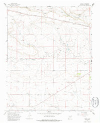
1966 · Royce
USGS Topo · 1:24,000
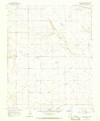
1966 · Black Canyon
USGS Topo · 1:24,000
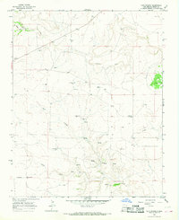
1966 · Tate School
USGS Topo · 1:24,000
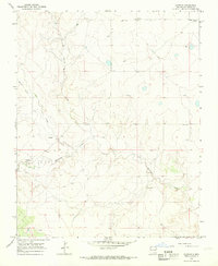
1966 · Clapham
USGS Topo · 1:24,000
1966 · Car Top Butte
USGS Topo · 1:24,000
1966 · Sand Hill
USGS Topo · 1:24,000
1973 · Snyder Lake
USGS Topo · 1:24,000