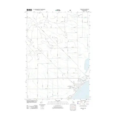
2012 Map of Tawas City
USGS Topo · Published 2012About this map
Tawas Bay and the shoreline of Lake Huron anchor this coastal region of Iosco County, where the Tawas River flows out from the inland waters of Tawas Lake. The landscape is defined by a dense network of creeks, including Cold Cr, Sims Cr, and Dead Cr, which carve through the terrain north of the developed areas. For genealogists, the map is particularly useful for locating several distinct burial sites such as Wilber Cem in the north and the cluster of Memory Gardens Cem, Emmanuel Lutheran Cem, and Immaculate Heart of Mary's Catholic Cemetery further south. The transition from the rural northern sections, marked by landmarks like Trails End Ranch Campgrounds, to the organized street grid near the bay illustrates the concentration of local industry and commerce along the waterfront.
Find a feature on this map
82 named features on this map. Tap any name to fly to it.
Don’t see what you’re looking for? This feature index may not catch every label — zoom into the map to look around manually.
Map Details
Editions of this 2012 Tawas City Map
This is the sole edition of this map. No revisions or reprints were ever made.
Other maps of this area

1954 · Tawas City
USGS Topo · 1:250,000

1958 · Tawas City
USGS Topo · 1:250,000

1959 · Tawas City
USGS Topo · 1:62,500

1959 · East Tawas
USGS Topo · 1:62,500

1966 · Alabaster
USGS Topo · 1:24,000

1966 · National City
USGS Topo · 1:24,000

1984 · Tawas City
USGS Topo · 1:100,000
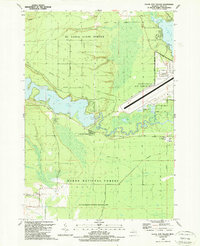
1989 · Foote Site Village
USGS Topo · 1:24,000
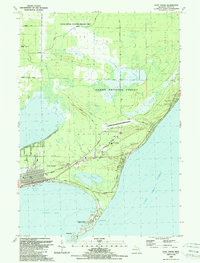
1989 · East Tawas
USGS Topo · 1:24,000
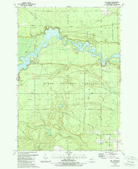
1989 · Sid Town
USGS Topo · 1:24,000