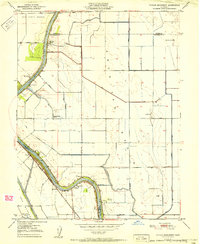
1951 Map of Taylor Monument
USGS Topo · Published 1951About this map
The American Basin serves as the focal point of this 1951 study, illustrating the complex irrigation and drainage network vital to Sacramento Valley agriculture. The meandering Sacramento River defines the landscape, flanked by the Garden Highway and protected by an extensive levee system. Evidence of mid-century infrastructure is visible in the Sacramento Northern rail line and the cluster of pumping stations, including the Prichard Lake Pumping Plant and the Central Pumping Plant, which managed water levels for local growers.
Find a feature on this map
38 named features on this map. Tap any name to fly to it.
Don’t see what you’re looking for? This feature index may not catch every label — zoom into the map to look around manually.
Map Details
Editions of this 1951 Taylor Monument Map
This is the sole edition of this map. No revisions or reprints were ever made.
Other maps of this area

1891 · Sacramento
USGS Topo · 1:125,000

1892 · Sacramento
USGS Topo · 1:125,000

1893 · Sacramento
USGS Topo · 1:125,000

1902 · Fairoaks
USGS Topo · 1:62,500

1907 · Davisville
USGS Topo · 1:62,500

1910 · Knights Landing
USGS Topo · 1:31,680

1910 · Vernon
USGS Topo · 1:31,680

1910 · Pleasant Grove
USGS Topo · 1:31,680

1911 · Brighton
USGS Topo · 1:31,680

1911 · Arcade
USGS Topo · 1:31,680