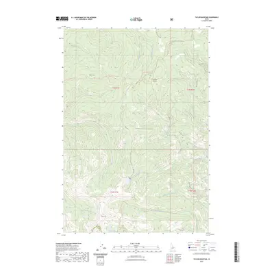
2023 Map of Taylor Mountain
USGS Topo · Published 2023About this map
Thunder Mountain Historic Trl winds through the high-elevation terrain of the Salmon National Forest, tracing a historic route through the Salmon River Mountains. This 2023 edition documents a landscape defined by significant drainage systems and ridgelines, including the headwaters of Iron Creek and the South Fork Moyer Creek. The area is anchored by prominent summits like Taylor Mtn and Moyer Peak, which overlook several alpine water features such as Iron Lake and the Hat Cr Lakes. The presence of the Old Indian Trl and the Ridge Road To Iron Lake Trl indicates a long history of mountain passage, connecting isolated basins and meadows like Goodluck Meadow. The map also captures the administrative boundary between Lemhi and Custer Counties, reflecting the remote governance of this wilderness area.
Find a feature on this map
29 named features on this map. Tap any name to fly to it.
Don’t see what you’re looking for? This feature index may not catch every label — zoom into the map to look around manually.
Map Details
Editions of this 2023 Taylor Mountain Map
This is the sole edition of this map. No revisions or reprints were ever made.
Other maps of this area
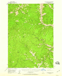
1950 · Blackbird Mtn
USGS Topo · 1:62,500
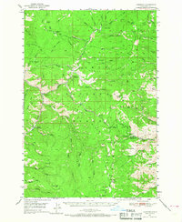
1950 · Leesburg
USGS Topo · 1:62,500
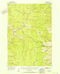
1951 · Leesburg
USGS Topo · 1:62,500
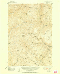
1951 · Blackbird Mtn
USGS Topo · 1:62,500

1956 · Elk City
USGS Topo · 1:250,000

1957 · Challis
USGS Topo · 1:250,000

1960 · Elk City
USGS Topo · 1:250,000

1960 · Challis
USGS Topo · 1:250,000
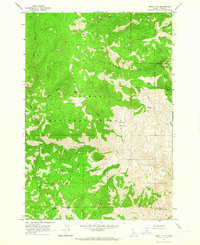
1962 · Degan Mtn
USGS Topo · 1:24,000

1963 · Challis
USGS Topo · 1:250,000