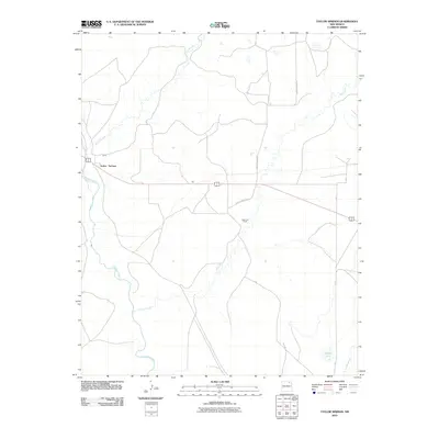
2010 Map of Taylor Springs
USGS Topo · Published 2010About this map
Taylor Springs serves as the primary settlement node in this high-plains landscape, situated where the high desert is carved by seasonal and perennial watercourses. The drainage of the Canadian River dominates the western edge of the quadrangle, while Chico Creek meanders through the central and southern reaches. Local infrastructure is defined by a network of rural routes, including County Road C-34 and County Road C-35, which link the various ranching areas. The presence of named locales like Glaze and Bates suggests historical ranching or homesteading operations that have shaped the region's land use. Further east, the terrain includes intermittent features such as Alkali Arroyo, Jaritas Arroyo, and the isolated Middle Lake, illustrating the hydrological patterns of Colfax County.
Find a feature on this map
14 named features on this map. Tap any name to fly to it.
Don’t see what you’re looking for? This feature index may not catch every label — zoom into the map to look around manually.
Map Details
Editions of this 2010 Taylor Springs Map
This is the sole edition of this map. No revisions or reprints were ever made.
Other maps of this area

1954 · Raton
USGS Topo · 1:250,000

1958 · Raton
USGS Topo · 1:250,000

1964 · Stony Lake
USGS Topo · 1:24,000

1965 · Sauble Circle Dot Ranch
USGS Topo · 1:24,000

1965 · Abbott NW
USGS Topo · 1:24,000

1965 · French
USGS Topo · 1:24,000

1965 · Taylor Springs
USGS Topo · 1:24,000

1965 · Abbott
USGS Topo · 1:24,000

1965 · Springer
USGS Topo · 1:24,000

1971 · Abbott Lake
USGS Topo · 1:24,000