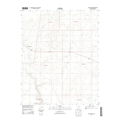
2013 Map of Taylor Springs
USGS Topo · Published 2013About this map
The Canadian River carves a deep path through this section of Colfax County, defining a landscape marked by high plateaus and erosional drainages. The settlement of Taylor Springs sits near the western edge of the quadrangle, serving as a primary point of reference in an area otherwise dominated by extensive land sections and rural road networks. Moving across the terrain, the map reveals the intricate water system of the High Plains, where the Alkali Arroyo and Chico Cr weave between elevated contours.
Find a feature on this map
19 named features on this map. Tap any name to fly to it.
Don’t see what you’re looking for? This feature index may not catch every label — zoom into the map to look around manually.
Map Details
Editions of this 2013 Taylor Springs Map
This is the sole edition of this map. No revisions or reprints were ever made.
Other maps of this area
1954 · Raton
USGS Topo · 1:250,000
1958 · Raton
USGS Topo · 1:250,000
1964 · Stony Lake
USGS Topo · 1:24,000
1965 · Sauble Circle Dot Ranch
USGS Topo · 1:24,000
1965 · Abbott NW
USGS Topo · 1:24,000
1965 · French
USGS Topo · 1:24,000
1965 · Taylor Springs
USGS Topo · 1:24,000
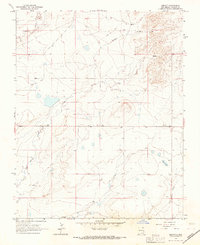
1965 · Abbott
USGS Topo · 1:24,000
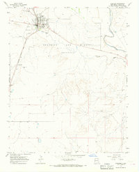
1965 · Springer
USGS Topo · 1:24,000
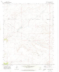
1971 · Abbott Lake
USGS Topo · 1:24,000