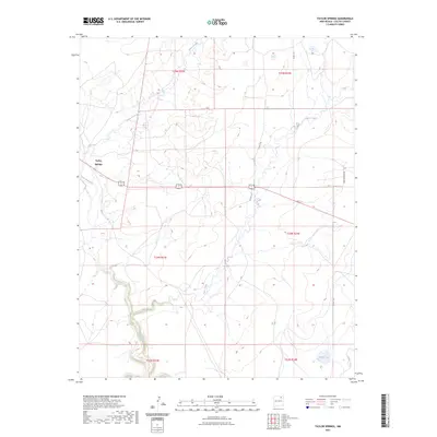
2023 Map of Taylor Springs
USGS Topo · Published 2023About this map
Taylor Springs sits near the western edge of this Colfax County landscape, where the winding course of the Canadian River cuts through the high plains. The terrain is defined by a series of drainages, including the prominent Chico Creek and Alkali Arroyo, which dictate the local topography and historical land use patterns. Modern transportation corridors like the shared route of 56/412 and rural connectors such as Co RD C-34 cross the plains, linking the ranchlands of northeastern New Mexico. To the southeast, the isolated basin of Middle Lake and the drainage of Jaritas Arroyo provide focal points within the township grids of t23n r24e and t24n r24e. The map illustrates the persistence of traditional cattle country, where the vast open spaces are organized by section lines and named watercourses.
Find a feature on this map
16 named features on this map. Tap any name to fly to it.
Don’t see what you’re looking for? This feature index may not catch every label — zoom into the map to look around manually.
Map Details
Editions of this 2023 Taylor Springs Map
This is the sole edition of this map. No revisions or reprints were ever made.
Other maps of this area

1954 · Raton
USGS Topo · 1:250,000

1958 · Raton
USGS Topo · 1:250,000

1964 · Stony Lake
USGS Topo · 1:24,000

1965 · Sauble Circle Dot Ranch
USGS Topo · 1:24,000

1965 · Abbott NW
USGS Topo · 1:24,000

1965 · French
USGS Topo · 1:24,000

1965 · Taylor Springs
USGS Topo · 1:24,000

1965 · Abbott
USGS Topo · 1:24,000

1965 · Springer
USGS Topo · 1:24,000

1971 · Abbott Lake
USGS Topo · 1:24,000